Neighbor News
High pressure keeps showers at bay
Strengthening high pressure over the St. Lawrence River Valley this morning has kept the clouds at bay along with any threat for showers
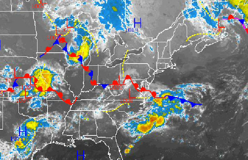
Strengthening high pressure over the St. Lawrence River Valley this morning has kept the clouds at bay along with any threat for showers through this morning. However, as the onshore flow develops tonight through this weekend, variable clouds and the risk of showers will increase.
Today through tomorrow, high pressure will drift from the St. Lawrence River Valley to the New England coastal waters while areas of low pressure pass to the south of New Jersey through Maryland and Delaware. As winds veer from the north to the southeast at 5 to 15 mph through the period, an air mass from the Atlantic Ocean will build into the region. Temperatures this afternoon will rise into the upper 70’s to lower 80’s over the northern interior and New York City metropolitan areas and lower to mid 80’s in the Philadelphia metropolitan areas. Low temperatures will range from the mid to upper 50’s over the interior and lower to mid 60’s along the coast and in urban locations. High temperatures tomorrow afternoon will range from the upper 70’s to lower 80’s over the northern interior and lower to mid 80’s throughout the rest of the New York City and Philadelphia metropolitan areas.
On Thursday, an area of low pressure will pass to the southeast of the New Jersey coast with widely scattered showers expected and overcast skies. Winds will be from the northeast at 5 to 15 mph. Temperatures will range from the lower to mid 60’s for lows and upper 70’s to lower 80’s for highs throughout the Philadelphia and New York City metropolitan areas and interior locations.
Find out what's happening in Freeholdfor free with the latest updates from Patch.
High pressure will strengthen over the New England coastal waters on Friday and will be a dominant feature Friday on through Monday. As a result, the marine air mass influence will strengthen and take hold throughout the northern Mid Atlantic. Scattered to overcast cloud cover can be expected through the period, however dry conditions will generally remain in place. An isolated shower is possible but not likely. Temperatures will average near to below normal through the period. Low temperatures will range from the upper 50’s to lower 60’s over the interior and lower to mid 60’s along the coast. High temperatures will range from the upper 70’s to lower 80’s throughout the Philadelphia and New York City metropolitan areas.


