Neighbor News
Hot, humid, and stormy today
Hot and humid conditions will give way to strong to severe thunderstorms this evening
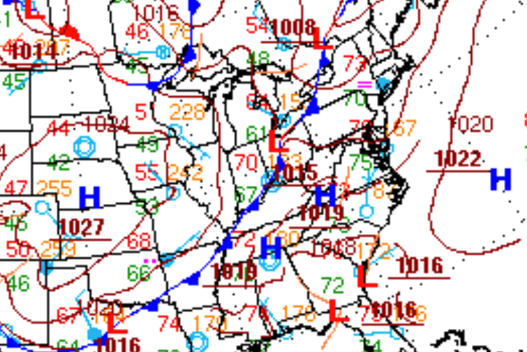
An impressive severe thunderstorm threat is developing for this afternoon for the Philadelphia and New York City metropolitan areas this afternoon and evening as a hot, humid, tropical air mass in place this morning is driven out by a strong, cool, dry, Polar air mass that is plowing through the Great Lakes and heading towards the northern Mid Atlantic.
Through the early afternoon, hazy conditions will be in place with some scattered cloud cover. Winds will be from the southwest at 5 to 15 mph with gusts up to 20 mph. Temperatures will rise into the mid to upper 80’s over the New York City metropolitan area and upper 80’s to lower 90’s over the Philadelphia metropolitan area with a head index in the mid to upper 90’s. The hot and humid conditions will not last long though.
A powerful cold front will drive through the Philadelphia and New York City metropolitan areas this afternoon and evening with strong to severe thunderstorms. The strongest thunderstorms will be capable of wind gusts over 60 mph, frequent lightning, very heavy downpours, and hail. The thunderstorms will develop in isolated to widely scattered fashion between 2 PM to 5 PM, the primary line of strong to severe thunderstorms will march through the region between 4 PM and 2 AM from northwest to southeast. The height of the thunderstorm threat will be between 5 PM and 9 PM this evening for both the Philadelphia and New York City metropolitan areas. Very heavy rainfall is expected with flash flooding a threat. Also, wind damage and power outages will be possible along with vivid lightning.
Find out what's happening in Freeholdfor free with the latest updates from Patch.
High pressure will take hold by tomorrow morning with clearing skies and much lower humidity on the way. Clear skies to scattered cloud cover is expected tomorrow with winds from the northwest at 5 to 15 mph. Low temperatures will range from the mid to upper 50’s over the interior and lower to mid 60’s along the coast. High temperatures will range from the mid to upper 70’s over the interior and New York City metropolitan areas and upper 70’s to lower 80’s over the Philadelphia metropolitan area.
An area of low pressure will develop and track over the New Jersey coastal waters on Monday with periods of showers capable of tropical downpours. The best potential for rainfall will be along the coast and in the New York City metropolitan areas. The rain may be heavy at times leading to localized flash flooding. Temperatures will range from the upper 50’s to lower 60’s for lows and mid to upper 70’s for highs. There is potential if heavier rain pushes into the coast that temperatures never break 70 degrees.
Find out what's happening in Freeholdfor free with the latest updates from Patch.
A series of cold fronts will move through the region Tuesday through Thursday with scattered showers and thunderstorms. Temperatures on Tuesday and Wednesday will range from the upper 50’s to lower 60’s for lows and upper 70’s to lower 80’s for highs. Temperatures on Thursday will range from the lower to mid 60’s for lows and lower to mid 80’s for highs.
Canadian high pressure will take hold on Friday with clear skies and cool conditions. Low temperatures will range from the upper 40’s to lower 50’s over the interior and mid to upper 50’s along the coast. High temperatures will range from the mid to upper 70’s over the New York City metropolitan area and upper 70’s to lower 80’s over the Philadelphia metropolitan area.


