Community Corner
Late Fall Conditions visit for Next Week
Colder temperatures and then very stormy conditions with a potential Nor'Easter expected for next week.
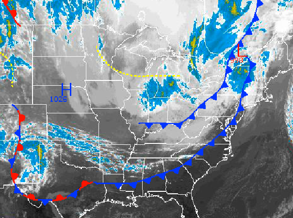
A series of cold fronts will move through the Philadelphia and New York City metropolitan areas this afternoon with a few widely scattered showers possible. This cold front will introduce a significantly colder weather pattern with the potential for frost and freeze conditions by Monday morning. However, all eyes are really on the period starting Tuesday night through the rest of the week where a slow moving Nor’ easter will be a threat.
This afternoon through tomorrow morning, a series of cold fronts will move through the region with periods of widely scattered showers. Most locations will remain dry with the passage of this cold front however these showers will be capable of brief, heavy downpours. Winds will veer from the southwest to northwest at 10 to 20 mph with gusts to 30 mph at times. Temperatures will rise into the mid 60’s for highs this afternoon. Tomorrow, temperatures will range from the lower to mid 40’s for lows and mid 50’s for highs.
High pressure will remain in control on Monday with clear skies and rather chilly weather conditions. Winds will be from the north and northwest at 5 to 15 mph. Low temperatures will fall into the mid to upper 20’s over the northern interior, lower to mid 30’s over the western suburbs of Philadelphia and New York City, and mid to upper 30’s along the immediate coast and in urban locations. This Monday will feature significant frost and freeze conditions for the region. Temperatures will rebound into the mid to upper 50’s for highs.
Find out what's happening in Freeholdfor free with the latest updates from Patch.
An area of low pressure will develop off the Delaware and southern New Jersey coast on Tuesday morning with increasing clouds and showers by the afternoon. This low pressure system will slowly track towards the New England coastal waters from Tuesday night into Friday morning leading to periods of moderate to heavy rain throughout the period and strong nor easterly winds at 15 to 30 mph with higher gusts. Coastal flooding will be a threat with this storm due to the persistent on shore flow along with the threat for localized flash flooding due to rainfall. Low temperatures will range from the mid to upper 40’s for lows throughout the region. High temperatures will rand from the mid to upper 50’s for highs over the interior and upper 50’s to lower 60’s along the coast.


