Community Corner
Mild Start To December Won't Last Long
A cold front will put a quick end to mild temperatures as cold air invades
A mild start to December won’t last long as a strong cold front drives through the Philadelphia and New York City metropolitan areas through this afternoon. A threat for a wintery mix will develop for tomorrow evening as temperatures go on a roller coaster ride for the week.
The cold front will move through this afternoon with periods of showers expected. Winds will be from the southwest at 5 to 15 mph, increasing to 10 to 20 mph this afternoon. Temperatures will rise into the upper 40’s to lower 50’s over the interior and mid to upper 50’s along the coast.
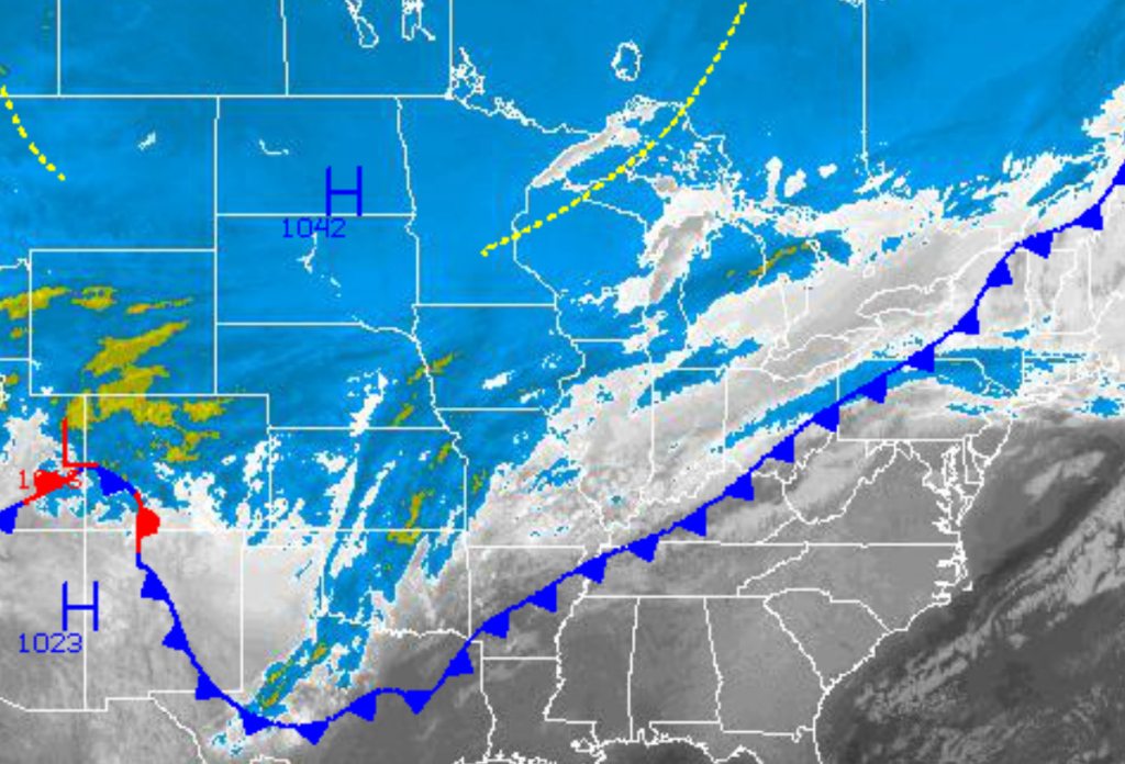
High pressure will take hold tonight with scattered clouds expected. The high pressure system will rapidly move eastward from the Great Lakes to New England leading to winds veering from the northwest to northeast at 5 to 15 mph. Temperatures will fall into the mid to upper 20’s over the interior and lower to mid 30’s along the coast.
Find out what's happening in Freeholdfor free with the latest updates from Patch.
A wave of low pressure in the Four Corner States this morning will quickly move northeast through the Ohio River Valley by tomorrow morning and towards New England by tomorrow evening. Periods of rain can be expected for much of the Philadelphia and New York City metropolitan areas tomorrow afternoon through early Wednesday morning. However, for locations over northeastern Pennsylvania, northwestern New Jersey, the Hudson River Valley, and northern Connecticut; a period of snow, sleet, and freezing rain can be expected tomorrow afternoon through early Wednesday morning leading to up to an inch of snow and up to 0.10″ of sleet and freezing rain. The wintery mix will go over to rain for all locations after 3 AM on Wednesday. Winds will veer from the northeast to southeast at 10 to 20 mph. Temperatures will steadily rise through the period with the high on Tuesday with highs in the evening in the lower to mid 30’s over the interior and upper 30’s to lower 40’s along the coast. Low temperatures on early Wednesday morning will be in the mid 30’s over the interior and upper 30’s to lower 40’s along the coast.
A cold front will follow on Wednesday afternoon with periods of showers expected. Winds will veer from the south to northwest at 10 to 20 mph. Temperatures will rise into the lower to mid 50’s for highs.
Find out what's happening in Freeholdfor free with the latest updates from Patch.
High pressure will be in control on Thursday with scattered clouds and seasonable temperatures. Low temperatures will range from the upper 20’s to lower 30’s over the interior and mid to upper 30’s along the coast. High temperatures will range from the lower to mid 40’s over the interior and mid to upper 40’s along the coast.
A series of low pressure systems will produce periods of showers Friday on through Sunday. Low temperatures will range from the mid to upper 20’s over the interior and lower to mid 30’s along the coast. High temperatures will range from the lower to mid 40’s over the interior and upper 40’s to lower 50’s along the coast.


