Community Corner
Mild Start To The Week
Warm conditions to start the week will give way to cold and unsettled weather by next weekend.
Perfect weather conditions will start the week with clear skies to scattered cloud cover to go along with well above normal temperatures. However, the warm and pleasant weather won’t last long with a return to cold and unsettled weather conditions for the end of the week.
Today on through tomorrow, high pressure will shift off the coast leading with clear skies to scattered cloud cover. Winds will back to the southwest at 5 to 15 mph, increasing to 10 to 20 mph by tomorrow afternoon. Temperatures this afternoon will rise into the mid 60’s for highs. Tomorrow, temperatures will range from the upper 40’s to lower 50’s for lows and upper 60’s to lower 70’s for highs.
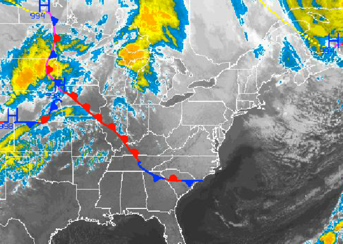
A cold front will move through the Philadelphia and New York City metropolitan areas on Wednesday afternoon with scattered showers expected. The showers will be capable of heavy downpours at times. Winds will veer from the southwest to northwest at 10 to 20 mph with the passage of the cold front. Low temperatures will range from the lower to mid 50’s throughout the region. High temperatures will rise into the mid 60’s through the region before crashing into the 50’s in the late afternoon.
Find out what's happening in Freeholdfor free with the latest updates from Patch.
High pressure will be in place by Thursday with clear skies to scattered cloud cover. Much cooler weather conditions can be expected though. Low temperatures will range from the mid to upper 30’s over the interior and lower to mid 40’s along the coast.
An area of low pressure will rapidly develop off the New Jersey coast on Friday leading to scattered showers throughout the region. The showers will linger into Saturday morning with some higher elevations above 1,000 feet potentially having a mix of rain and snow showers. No snowfall accumulation is expected though. Low temperatures on Friday will range from the lower to mid 30’s over the interior and upper 30’s to lower 40’s along the coast. High temperatures on Friday will range from the mid to upper 50’s throughout the region. Low temperatures on Saturday will range from the upper 20’s to lower 30’s over the interior and mid to upper 30’s along the coast. High temperatures will rise only into the upper 40’s to lower 50’s throughout the northern Mid Atlantic.
Find out what's happening in Freeholdfor free with the latest updates from Patch.
High pressure will return on Sunday with clear skies and cold conditions. Low temperatures will range from the mid to upper 20’s over the interior and upper 20’s to lower 30’s along the coast. High temperatures will range from the upper 40’s to lower 50’s over the interior and mid 50’s along the coast.


