Neighbor News
Morning showers given way to tranquil period of weather
Showers this morning will give way to excellent weather the rest of the week
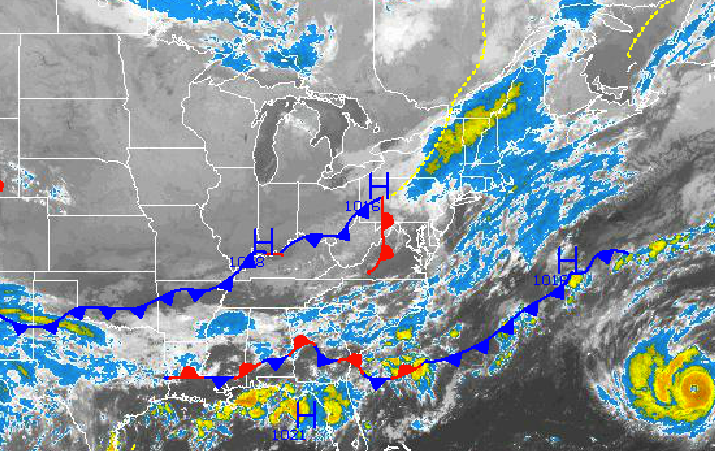
An area of low pressure over western Pennsylvania will produce showers this morning into the early afternoon hours. However, high pressure over the northern Plains this morning will become the dominant influence on the weather pattern for the rest of the week and into this weekend with tranquil weather conditions.
The area of low pressure will move through the Philadelphia and New York City metropolitan areas today with periods of showers through the early afternoon hours. The showers will be capable of producing a heavy downpour from time to time, but otherwise will feature light to moderate rainfall. All showers will be east of the New York City metropolitan area by 4 PM this afternoon at the latest. Winds will back from the east to the northwest at 5 to 15 mph. Temperatures this afternoon will rise into the upper 60’s to lower 70’s in the New York City metropolitan area and lower to mid 70’s in the Philadelphia metropolitan area.
Tonight, skies will clear as high pressure builds into the Philadelphia and New York City metropolitan areas. Winds will be from the northwest at 5 mph. Low temperatures will range from the lower to mid 40’s over the northwestern interior, upper 40’s to lower 50’s over the western suburbs of Philadelphia and New York City, and lower to mid 50’s in urban areas and along the immediate coast.
Find out what's happening in Freeholdfor free with the latest updates from Patch.
High pressure will be in complete control tomorrow on through Saturday with clear skies to scattered cloud cover. Winds will be light and variable through the period as high pressure slowly drifts towards and then over the Philadelphia and New York City metropolitan areas. Low temperatures will range from the lower to mid 40’s over the northwestern interior, upper 40’s to lower 50’s over the western suburbs of Philadelphia and New York City, and lower to mid 50’s along the coast and in urban areas.
Clouds will increase on Sunday as high pressure departs and a cold front approaches from the west. The cold front will move through on Monday with scattered showers. Low temperatures will range from the upper 40’s to lower 50’s over the interior and lower to mid 50’s along the coast. High temperatures will range from the upper 60’s to lower 70’s over the interior and lower to mid 70’s along the coast.


