Neighbor News
Pacific high pressure builds in today
Pacific high pressure takes hold today leading to tranquil conditions through the end of the week
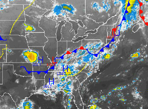
Pacific high pressure will slowly build into the Philadelphia and New York City metropolitan areas today as a cold front slowly exits to the southeast. High pressure will remain in control through the rest of the week followed by a strong cold front on Saturday and then a return to seasonable temperatures for the end of the weekend.
High pressure will build into the Philadelphia and New York City metropolitan areas through this afternoon with clearing skies from northwest to southeast. Winds will be from the northwest at 5 to 10 mph. Temperatures will rise into the mid 80’s throughout the northern Mid Atlantic.
High pressure will be in complete control tonight on through Friday with scattered cloud cover to clear skies. Winds will be from the northwest and west at 5 to 10 mph. Temperatures tonight will fall into the upper 50’s to lower 60’s over the interior and mid to upper 60’s along the coast. Tomorrow, temperatures will rise into the lower to mid 80’s along the immediate coast and mid to upper 80’s throughout the rest of the Philadelphia and New York City metropolitan areas and interior. On Friday, temperatures will range from the mid to upper 60’s for lows and mid to upper 80’s for highs throughout the Philadelphia and New York City metropolitan areas and surrounding suburbs.
Find out what's happening in Freeholdfor free with the latest updates from Patch.
A strong cold front will approach the northern Mid Atlantic on Saturday with increasing clouds through the day. The cold front will move through on Saturday night with showers and strong to potentially severe thunderstorms possible. The strongest thunderstorms will be capable of heavy downpours, frequent lightning, hail, and wind gusts over 30 mph. Temperatures will rise into the mid to upper 80’s for highs.
Canadian high pressure will take hold on Sunday with clearing skies. High pressure will remain in control Monday and Tuesday with clear skies to scattered cloud cover expected. Temperatures on Sunday morning will range from the mid to upper 60’s as the Polar air mass slowly builds in and humidity decreases. Temperatures on Sunday afternoon will range from the upper 70’s to lower 80’s. Low temperatures on Monday and Tuesday will range from the upper 40’s to lower 50’s over the interior and mid to upper 50’s along the coast. High temperatures on Monday and Tuesday will range mid to upper 70’s over the interior and upper 70’s to lower 80’s along the coast.


