Neighbor News
Perfect Fall Conditions To End The Week
Cool conditions are in place through the end of the week as the Fall weather pattern locks in.
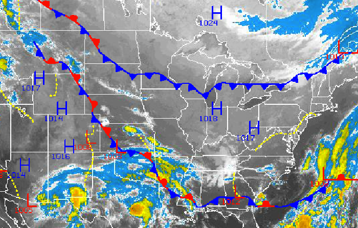
Canadian high pressure will be the dominant feature for much of this forecast for the northern Mid Atlantic. There is a threat for rain by Monday, but then the Philadelphia and New York City metropolitan areas return to chilly and dry weather conditions once again for the rest of next week.
Today through tomorrow, high pressure will be in control with clear skies to scattered cloud cover expected. A cold front will drop through the Philadelphia and New York City metropolitan area with no precipitation expected however winds will shift from the northwest to the north at around 5 mph. Temperatures this afternoon will rise into the upper 60’s to lower 70’s over the northern interior and mid 70’s over the Philadelphia and New York City metropolitan areas. Temperatures tomorrow morning will fall into the mid 40’s over northern interior, upper 40’s to lower 50’s over the western suburbs of Philadelphia and New York City, and lower to mid 50’s along the coast for lows. High temperatures will be well below normal tomorrow afternoon with highs in the upper 60’s to lower 70’s in the Philadelphia metropolitan areas and mid to upper 60’s in the New York City metropolitan area and over the interior.
High pressure will remain in control on Saturday and Sunday, however the high pressure system will depart on Sunday leading to increasing clouds. Temperatures will return to near normal levels on Saturday but rebound to above normal by Sunday. Low temperatures on Saturday will range from the mid to upper 40’s over the interior and lower to mid 50’s along the coast. High temperatures on Saturday will range from upper 60’s to lower 70’s over the interior and lower to mid 70’s over the Philadelphia and New York City metropolitan areas. On Sunday, temperatures will range from the mid to upper 50’s for lows and mid to upper 70’s for highs.
Find out what's happening in Freeholdfor free with the latest updates from Patch.
A cold front will move through the Philadelphia and New York City metropolitan areas on Monday morning with periods of showers. The remnants of Odile will be entrained into this cold front and may lead to periods of heavy downpours on Monday morning. Skies are expected to clear by Monday evening. Temperatures on Monday will range from the upper 50’s to lower 60’s for lows and upper 60’s to lower 70’s for highs.
Canadian high pressure will be in place once again for Tuesday and Wednesday with clear skies to scattered clouds. Temperatures will fall back to below normal levels. Low temperatures will range from the lower to mid 40’s over the interior and upper 40’s to lower 50’s along the coast. High temperatures will range from the mid to upper 60’s over the interior and upper 60’s to lower 70’s along the coast.


