Neighbor News
Perfect weather to end the week
High pressure is arriving this morning to provide perfect weather to end the week and kick off the Labor Day weekend.
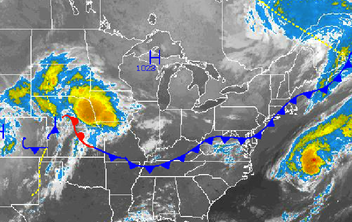
High pressure is arriving this morning to provide perfect weather to end the week and kick off the Labor Day weekend. Honestly, the weather conditions will feel so refreshing that I would not be surprised if there is a rash of vacationitis at many jobs the next two days.
As the cold front continues to exit into the Atlantic Ocean this morning, high pressure will build in from the Great Lakes leading to clearing skies. Clear skies to scattered cloud cover is expected this afternoon on through Saturday. Winds will be from the northwest at 5 to 15 mph, veering to the east by Saturday evening. Temperatures this will rise into the upper 70’s to lower 80’s over the interior and New York City metropolitan area and lower to mid 80’s in the Philadelphia metropolitan areas for highs this afternoon with crashing dew points leading to very low humidity by this afternoon. Temperatures tonight will fall into the upper 40’s to lower 50’s over the northern interior, mid to upper 50’s over the western suburbs of New York City and Philadelphia, and upper 50’s to lower 60’s in the urban areas and along the immediate coast. Temperatures tomorrow afternoon will rise into the mid to upper 70’s in the New York City metropolitan area and northern interior and upper 70’s to lower 80’s in the Philadelphia metropolitan area. On Saturday, temperatures will range from the mid to upper 50’s for lows and upper 70’s to lower 80’s in the Philadelphia metropolitan area and mid to upper 70’s in the New York City metropolitan area for highs.
On Saturday night, high pressure will exit the region leading to winds veering to the southwest at 5 to 15 mph. A cold front will slowly approach the Philadelphia and New York City metropolitan areas on Sunday with increasing clouds through the day and a threat for widely scattered showers and thunderstorms in the evening. The cold front will slowly move through on Monday, Labor Day, with the threat for showers and thunderstorms throughout the day. The strongest thunderstorms will be capable of frequent lightning, wind gusts over 40 mph, and very heavy downpours. A significant increase in humidity can be expected by Sunday morning. Temperatures on Sunday will range from the mid to upper 60’s for lows and mid to upper 80’s for highs. Temperatures on Monday will range from the mid 60’s to lower 70’s for lows and mid 80’s to lower 90’s for highs. The coolest locations in the afternoon will be along the immediate coast and over Long Island.
Find out what's happening in Freeholdfor free with the latest updates from Patch.
High pressure will take hold for Tuesday and Wednesday with clearing skies to scattered cloud cover. Temperatures will remain above to near normal with muggy conditions. Temperatures will on Tuesday will range from the mid to upper 60’s for lows and mid to upper 80’s for highs. Temperatures on Wednesday will range from the lower to mid 60’s for lows and lower to mid 80’s for highs.


