Neighbor News
Periods of clouds and showers through the weekend
As disturbances from the Ohio River Valley to the northern Plains approach the marine air mass locked in over New Jersey.
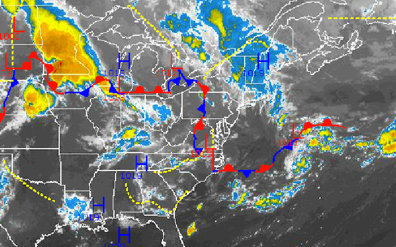
As disturbances from the Ohio River Valley to the northern Plains approach the marine air mass locked in over the New York City and Philadelphia metropolitan areas through at least Sunday morning, periods of overcast skies and scattered showers can be expected.
Today on through tomorrow, a series of disturbances will drive into the high pressure system locked in over New England. The result will be scattered to overcast cloud cover and periods of weakening showers. Not all locations will have rainfall through tomorrow, but locations that do can expect a brief heavy downpour at times. Rainfall amounts generally will be below a half an inch through tomorrow, however a few isolated locations may experience a rogue intense heavy downpour through the period. Winds will be from the southeast and east at 5 to 10 mph through tomorrow. Temperatures will average near to below normal. High temperatures this afternoon will range from the upper 70’s to lower 80’s in the New York City metropolitan area and along the immediate coast of New Jersey while lower to mid 80’s can be expected over the interior and the Philadelphia metropolitan areas. Low temperatures will range from the lower to mid 60’s over the interior and mid to upper 60’s along the coast and in urban locations. High temperatures tomorrow will range from the upper 70’s to lower 80’s over the Philadelphia metropolitan area and mid to upper 70’s over the New York City metropolitan area and interior locations.
On Saturday, scattered to overcast cloud cover will linger throughout the Philadelphia and New York City metropolitan areas. A threat for a widely scattered to isolated shower will exist however most locations will remain dry for the most part. Winds will remain from the east at 5 to 10 mph. Low temperatures will range from the mid to upper 60’s throughout the region. High temperatures will range from the mid to upper 70’s in the New York City metropolitan area and upper 70’s to lower 80’s in the Philadelphia metropolitan area.
Find out what's happening in Freeholdfor free with the latest updates from Patch.
By Sunday, high pressure over the Canadian Maritimes is expected to strengthen leading to clearing skies from northeast to southwest through the day. Winds will back to the northeast and north at 5 to 10 mph. Temperatures will range from the lower to mid 60’s for lows throughout the region and upper 70’s to lower 80’s for highs.
High pressure will be in control Monday on through Wednesday afternoon with clear skies to scattered cloud cover. Temperatures will average near normal through the period. Low temperatures will range from the upper 50’s to lower 60’s over the interior and lower to mid 60’s along the coast. High temperatures will range from the upper 70’s to lower 80’s in the New York City metropolitan area and lower to mid 80’s in the Philadelphia metropolitan area.


