Neighbor News
Periods of showers today, clear skies tomorrow
Cool and wet conditions are expected today but tomorrow will be perfect
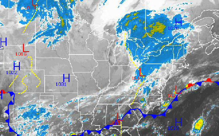
Fall has certainly arrived in the Philadelphia and New York City metropolitan areas with a coastal low expected to bring periods of showers today and cool and crisp conditions settling in for tomorrow.
The combination of a strong disturbance lifting through the Great Lakes and a surface low pressure system over the Southeastern United States will produce periods of showers this morning on through this evening. The showers will be light to moderate but a few heavy downpours are possible. Winds will be from the northeast at 5 to 15 mph. Temperatures will rise into the mid to upper 60’s over the northern interior, upper 60’s to lower 70’s over the New York City metropolitan area, and lower to mid 70’s in the Philadelphia metropolitan area.
High pressure will build into the region late tonight with clearing skies towards morning. High pressure will remain in control through Monday with clear skies to scattered cloud cover. Winds will veer to the northwest at 5 to 10 mph late tonight and then become light and variable tomorrow morning through Monday. Low temperatures will range from the mid to upper 40’s in the far northern interior, upper 40’s to lower 50’s in the suburbs of Philadelphia and New York City, and lower to mid 50’s along the coast. High temperatures will range from the mid to upper 60’s over the interior and lower to mid 70’s along the coast.
Find out what's happening in Freeholdfor free with the latest updates from Patch.
An area of low pressure will approach on Tuesday with periods of rain expected, especially in the morning hours. The rainfall will be heavy at times with the potential for localized flash flooding or urban flooding. Low temperatures will range from the upper 50’s to lower 60’s over the interior and lower to mid 60’s along the coast. High temperatures will range from the lower to mid 70’s along the immediate coast and mid 70’s throughout the rest of the northern Mid Atlantic.
Cool Canadian high pressure will take hold for Wednesday through Friday with clear skies to scattered clouds. Temperatures will average near to below normal through the period. Low temperatures will range from the mid to upper 40’s over the interior and lower to mid 50’s along the coast. High temperatures will range from the mid to upper 60’s over the interior, upper 60’s to lower 70’s along the coast.


