Community Corner
Powerful Nor' Easter develops tonight
A powerful Nor' Easter is on the way and the impacts will be significant
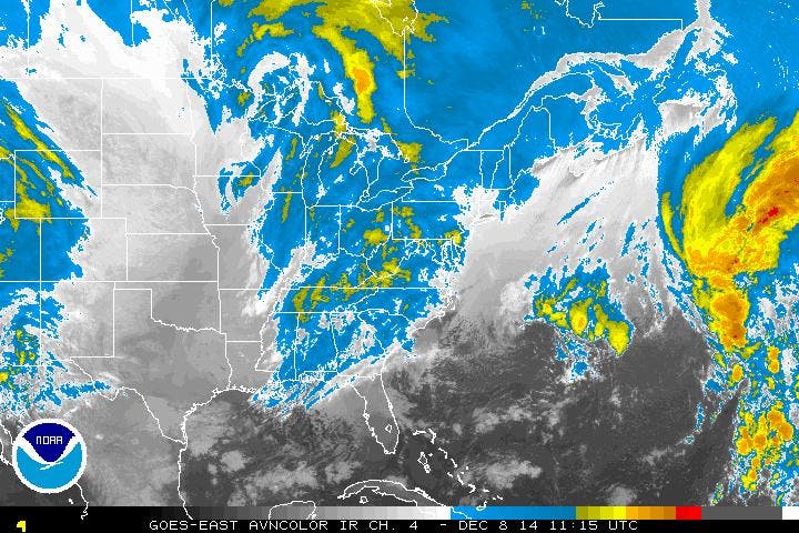
A powerful storm is expected to target the Philadelphia and New York City metropolitan areas beginning late tonight on through Thursday morning with heavy rain, strong winds, coastal flooding, and even snow as the storm departs.
Clouds will continue to increase and lower as high pressure departs into the Canadian Maritimes. A few rain and snow showers are possible along the coast, however most locations will remain dry on through this evening. Winds will be from the north and northeast at 10 to 20 mph. Temperatures will rise into the lower to mid 30’s over the interior and mid to upper 30’s along the coast.
Rain will develop late tonight, around and after midnight from the coast and building back west towards the interior by tomorrow morning. While all rain is expected of much of the region, a mix of snow, sleet, and rain can be expected for northwestern New Jersey and northeastern Pennsylvania. Winds will be from the northeast at 10 to 20 mph. Temperatures will fall into the upper 20’s to lower 30’s over the interior and mid 30’s along the coast.
Find out what's happening in Freeholdfor free with the latest updates from Patch.
The low pressure system will lift northward tomorrow towards the New Jersey coastal waters. Intense, heavy rainfall can be expected throughout the region as the low pressure system inches northward. The rain will mix with and change over to snow over northeastern Pennsylvania and northwestern New Jersey with accumulating snowfall by the afternoon and evening. The heavy rainfall will lead to areas of urban and stream flooding as over 2″ of rain can be expected. Meanwhile, snowfall accumulations over 6 inches will be a threat for northeastern Pennsylvania. Coastal flooding will also be a concern tomorrow morning and afternoon during the high tides. Winds will back from the northeast to north at 15 to 25 mph over the interior and 20 to 30 mph along the coast with gusts over 40 mph. Temperatures will rise into the mid to upper 30’s over the interior and upper 30’s to lower 40’s along the coast.
The low pressure system will slowly lift northward through Long Island and into southern New England on Wednesday. Bands of rain will continue to rotate through the region, however as cold air builds in behind the low pressure system, the rain will mix over to snow through the day. Little or no snowfall accumulation is expected along the coast. Snow showers will linger on through Thursday morning with windy conditions expected. Winds will be from the northwest at 10 to 20 mph. Temperatures on Wednesday and Thursday will range from the mid to upper 20’s for lows and upper 30’s to lower 40’s for highs.
Find out what's happening in Freeholdfor free with the latest updates from Patch.
High pressure will take hold Thursday night on through Sunday with clear skies to scattered cloud cover. Winds will decrease but remain from the north and northeast as this high pressure will be entering from central Canada. Temperatures will remain seasonably chilly. Low temperatures will range from the lower to mid 20’s over the interior and upper 20’s to lower 30’s along the coast. High temperatures will range from the upper 30’s to lower 40’s over the interior and lower to mid 40’s along the coast.


