Community Corner
Rainy, Raw, and then Cold
Periods of moderate to heavy rain will give way to brutally cold temperatures this week
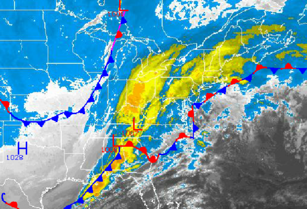
As an area of low pressure organizes over the Tennessee River Valley and then lifts northward towards New England tonight, periods of moderate to heavy rain can be expected today. Behind this area of low pressure will be brutally cold Arctic air mass that will drop temperatures into the 30’s for highs by tomorrow afternoon. Unseasonably cold temperatures will be in place through the rest of the week with even a chance for some snow showers by Friday.
Periods of moderate to heavy rain can be expected through the day as an area of low pressure lifts north. A break in the steady rainfall can be expected this morning followed by moderate to heavy rainfall returning for the afternoon and evening hours. Rainfall amounts will range from 0.50″ to l.50″ of rain by late tonight. Winds will veer from the south to southwest at 10 to 20 mph with gusts over 30 mph at times. Temperatures will rise into the lower to mid 40’s over the interior and upper 40’s to lower 50’s along the coast.
Arctic high pressure will follow the departing low pressure system late tonight on through Wednesday with very cold weather conditions. Skies will clear with strong northwesterly winds at 15 to 25 mph through tomorrow afternoon, decreasing to 5 to 15 mph by Wednesday. Temperatures tomorrow will range from the mid to upper 20’s for lows and lower to mid 30’s for highs. Low temperatures on Wednesday will range from the mid to upper 10’s over the interior and upper 10’s to lower 20’s along the coast. High temperatures on Wednesday will range from the upper 20’s to lower 30’s over the interior and lower to mid 30’s along the coast. The wind chills in this period will range from the upper 10’s to mid 20’s. With a normal high around 50, temperatures will easily average 15 to 20 degrees below normal for afternoon highs.
Find out what's happening in Freeholdfor free with the latest updates from Patch.
High pressure will remain in control on Thursday with slightly milder conditions. An area of low pressure will move through the region on Friday with a few passing snow showers in the morning. Scattered clouds are expected on Saturday and Sunday. Low temperatures will range from the upper 10’s to lower 20’s over the interior and mid to upper 20’s along the coast. High temperatures will range from the mid to upper 30’s over the interior and lower to mid 40’s along the coast.


