Neighbor News
Showers and thunderstorms dampen Labor Day Plans
A series of cold fronts through the next several days will lead to unsettled and stormy weather conditions throughout New Jersey
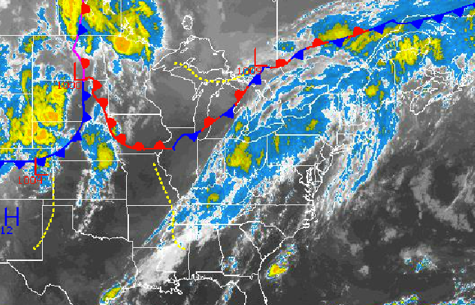
A series of cold fronts through the next several days will lead to unsettled and stormy weather conditions throughout the Philadelphia and New York City metropolitan areas, which will unfortunately will dampen some plans for the rest of the Labor Day weekend.
This afternoon through tomorrow, a cold front will slowly move through the Philadelphia and New York City metropolitan area leading to showers and thunderstorms to develop after 2 PM and continue on through tomorrow morning. The strongest thunderstorms will reach severe levels with wind gusts over 60 mph, very heavy downpours, frequent lightning, hail, and even an isolated tornado. Skies will clear tomorrow evening as the cold front exits. Winds will be from the southwest at 5 to 15 mph, veering to the northwest by tomorrow evening. Temperatures will rise into the mid to upper 80’s for highs this afternoon. Temperatures tomorrow will range from the upper 60’s to lower 70’s for lows and mid to upper 80’s for highs.
Scattered clouds with an isolated shower or thunderstorm is a threat on Tuesday. Another cold front will move through the region on Wednesday with additional scattered showers and thunderstorms. Temperatures will range from the upper 60’s to lower 70’s for lows and mid to upper 80’s for highs.
Find out what's happening in Freeholdfor free with the latest updates from Patch.
Canadian high pressure will be in place Thursday through Saturday with gradually cooler conditions. Temperatures on Thursday and Friday will range from the lower to mid 60’s for lows and mid 80’s for highs. Temperatures on Saturday will range from the lower to mid 60’s for lows and upper 70’s to lower 80’s for highs.


