Community Corner
Showers exit tonight
Periods of showers will linger today but improving conditions for the end of the week. Powerful cold front on Saturday is expected.
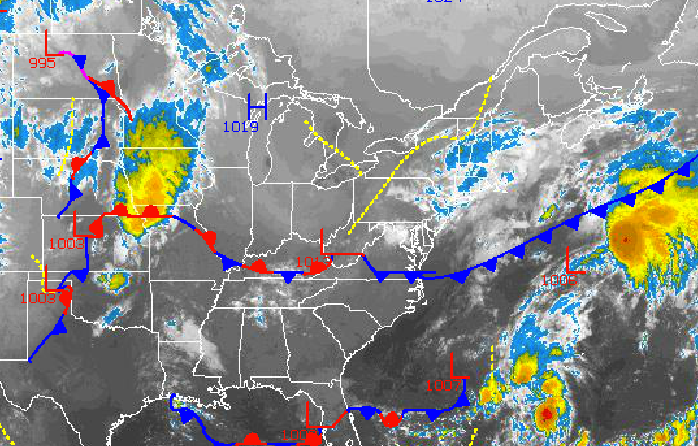
Showers will remain a lingering threat through this evening as a disturbance moves through the Philadelphia and New York City metropolitan areas today. Tranquil conditions will be in place to finish the week, but a strong cold front will bring the threat for heavy rain on Saturday. Cool weather returns for Sunday with the threat for frost in the morning hours!
Broken to overcast cloud cover and scattered showers will be a threat through this evening as a disturbance develops an area of low pressure over the New Jersey coastal waters. A few of the showers will be capable of heavy downpours at times. Winds will be from the northeast at 5 to 15 mph with gusts over 20 mph at times. Temperatures will rise into the upper 60’s to lower 70’s for highs this afternoon.
High pressure will gradually build into the Philadelphia and New York City metropolitan area tonight on through tomorrow with broken cloud cover expected. Winds will remain from the north and northeast at 5 to 10 mph. Low temperatures will range from the upper 40’s to lower 50’s over the interior and lower to mid 50’s along the coast. High temperatures will range from the upper 60’s to lower 70’s over the northern suburbs of Philadelphia and New York City and lower to mid 70’s along the coast.
Find out what's happening in Freeholdfor free with the latest updates from Patch.
Clear skies to scattered clouds can be expected on Friday as high pressure drifts towards New England. Temperatures will remain near normal. Low temperatures will range from the upper 40’s to lower 50’s. High temperatures will range from the upper 60’s to lower 70’s.
A strong, slow moving cold front will drive through the northern Mid Atlantic on Saturday with periods of rain expected, especially in the morning hours. The rainfall will be heavy at times and windy conditions can be expected leading to poor visibility at times. Temperatures will range from the mid to upper 50’s for lows and mid to upper 60’s for highs.
Find out what's happening in Freeholdfor free with the latest updates from Patch.
Canadian high pressure will be in place by Sunday with clearing skies expected. Temperatures will fall to below normal levels on Sunday. Low temperatures will range from the upper 30’s to lower 40’s over the interior and lower to mid 40’s along the coast. High temperatures will range from the upper 50’s to lower 60’s over the interior and lower to mid 60’s along the coast.
High pressure will remain in control on Monday and Tuesday with clear skies to scattered clouds. Low temperatures will range from the upper 30’s to lower 40’s over the interior and lower to mid 40’s along the coast. High temperatures will range from the mid to upper 60’s throughout the northern Mid Atlantic.


