Community Corner
Stormy conditions next several days
A coastal low will develop over the New Jersey coastal waters leading to periods of rain and windy conditions through Thursday
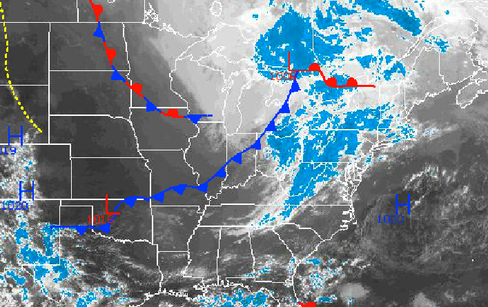
As a strong disturbance in the Ohio River Valley dives towards the Delaware and New Jersey coast today, a coastal low pressure system is expected to develop by this afternoon leading to periods of showers. This coastal low will linger over the Philadelphia and New York City metropolitan areas tonight on through Thursday, producing periods of rain and windy conditions. A tranquil weather pattern will return just in time for the weekend.
An area of low pressure over the Great Lakes and a strong disturbance over the Ohio River Valley will transition towards the New Jersey coast today on through tomorrow. Periods of showers can be expected as the new low pressure system organizes east of the southern New Jersey coast. The showers will feature heavy downpours at times. Winds will back from the south to the northeast at 5 to 15 mph, increasing to 10 to 20 mph by tomorrow morning. Temperatures this afternoon will rise into the upper 50’s to lower 60’s over the interior and mid to upper 60’s along the coast. Temperatures tonight will fall into the mid to upper 40’s over the interior and upper 40’s to lower 50’s along the coast for lows. Temperatures tomorrow afternoon will range from the upper 50’s to lower 60’s throughout the Philadelphia and New York City metropolitan areas.
Periods of rain can be expected tomorrow night on through Thursday with the heaviest rainfall expected along the coast and over much of Connecticut. Rainfall amounts will range from 0.25” to 0.50” for the western Suburbs of Philadelphia; 0.50” to 1.50” for northeastern Pennsylvania, New Jersey, the Hudson River Valley, western Long Island, and western Connecticut; and 1.50” to 2.50” for central and eastern Connecticut through central and eastern Long Island. Winds will back from the northeast to northwest at 15 to 25 mph with higher gusts. Localized flash flooding will be a threat along with minor to moderate coastal flooding. Low temperatures on Thursday will range from the mid 40’s over the interior and upper 40’s to lower 50’s along the coast. High temperatures will range from the upper 50’s to lower 60’s throughout the Philadelphia and New York City metropolitan areas.
Find out what's happening in Freeholdfor free with the latest updates from Patch.
Showers will linger on Friday as the low pressure system exits with improving conditions from west to east. Skies will clear by Friday evening as high pressure takes control. High pressure will remain in control through Monday with comfortable and tranquil weather conditions. Low temperatures will range from the lower to mid 40’s over the interior and upper 40’s to lower 50’s along the coast. High temperatures will range from the lower to mid 60’s over the interior and mid to upper 60’s along the coast.


