Community Corner
Stormy week on the way
A stormy week is on the way as a Nor' Easter develops off the coast and linger through Thursday.
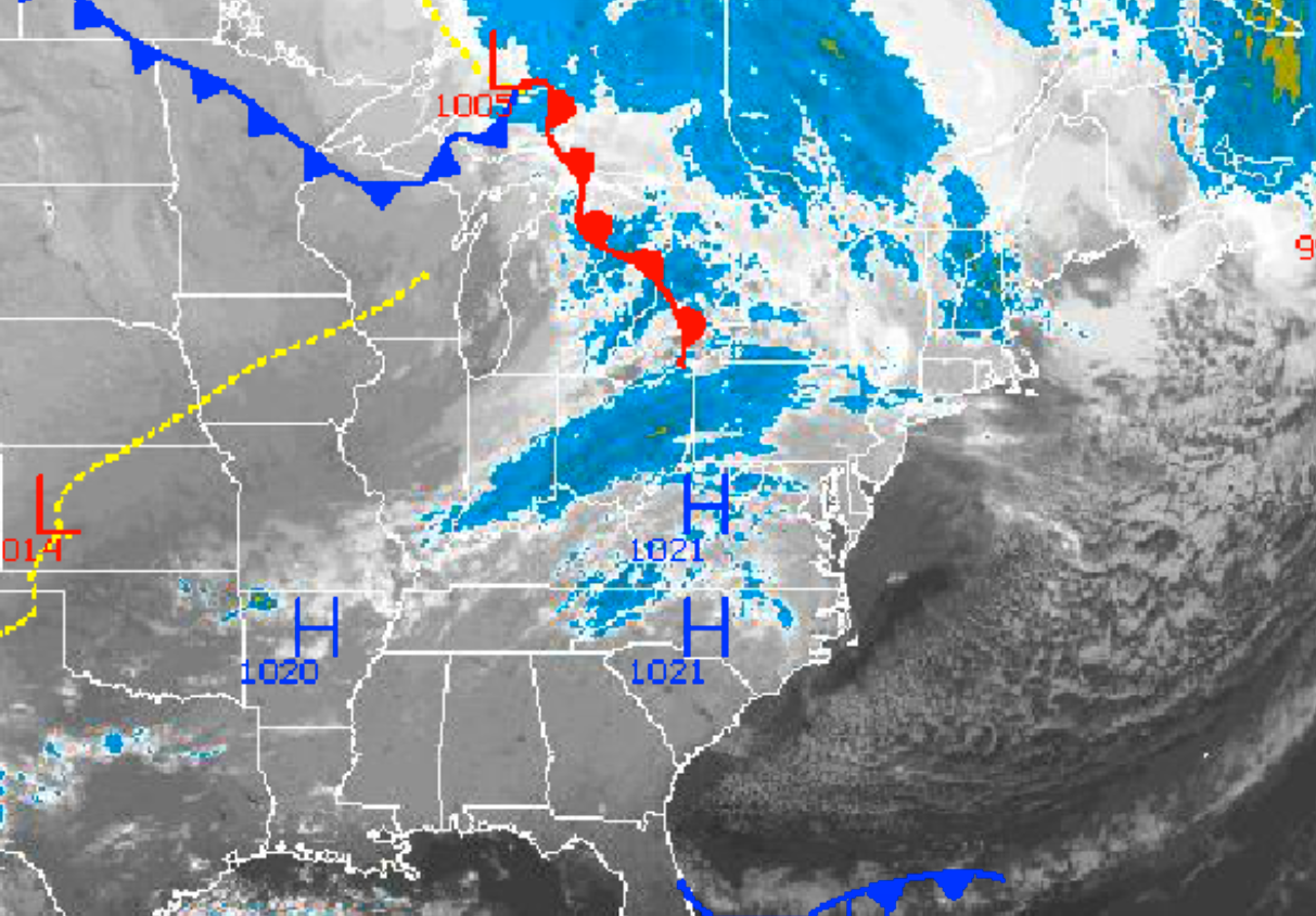
A stormy week is on the way for the Philadelphia and New York City metropolitan areas as an area of low pressure develops along the Delaware coast tomorrow morning and slowly moves towards New England by Thursday night. Periods of rain can be expected, especially along the coast, making for a rather wet and raw period of weather for the region.
Clouds will slowly increase today as high pressure departs the region. Winds will veer from the northwest to the north at 5 to 15 mph. Temperatures will rise into the mid to upper 50’s over the interior and upper 50’s to lower 60’s along the coast.
Tonight, clouds will continue to increase as an area of low pressure from the Great Lakes jumps towards the Delaware coast. Winds will veer to the northeast at 5 to 15 mph. Temperatures will fall into the upper 30’s to lower 40’s over the interior and mid to upper 40’s along the coast for lows.
Find out what's happening in Freeholdfor free with the latest updates from Patch.
An area of low pressure will intensify and slowly lift to the northeast tomorrow afternoon on through Thursday. Periods of showers will increase in coverage through tomorrow afternoon followed by period of moderate to heavy rain tomorrow night on through Thursday morning. The rain will slowly taper off to showers by Thursday afternoon. Winds will be from the northeast at 15 to 30 mph, backing to the northwest by Thursday afternoon. Low temperatures through the period will range from the upper 40’s to lower 50’s. High temperatures through the period will range from the upper 50’s to lower 60’s over the interior and lower to mid 60’s along the coast. Rainfall amounts will range from 0.50” to 1.50” in the Philadelphia metropolitan area and 1.50” to 2.50” in the New York City metropolitan areas. Localized flash flooding will be a threat along with poor driving conditions. Coastal flooding will be a concern as well with minor to moderate coastal flooding expected for Long Island and the New Jersey coast.
High pressure will be in control by Friday and remain in place for Saturday and Sunday with clear skies to scattered cloud cover. Low temperatures will range from the mid to upper 40’s. High temperatures will range from the lower to mid 60’s.


