Neighbor News
Summer like conditions finally return
After what has been a rather cool Summer throughout the Philadelphia and New York City metropolitan areas, we finally see a return to summer
After what has been a rather cool Summer throughout the Philadelphia and New York City metropolitan areas, we finally see a return to summer like weather and even above normal temperatures just in time for the Labor Day weekend to close out Summer, unofficially at least.
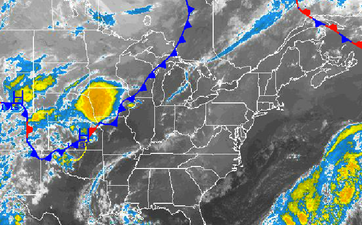
Today, high pressure over the Philadelphia and New York City metropolitan areas will produce clear skies throughout the region. Winds will be light and variable through the day, but will develop about of the southeast by this evening. Temperatures will rise into the lower to mid 80’s along the coast and mid to upper 80’s throughout the rest of the region. Humidity will still be low making for a comfortable afternoon.
Tonight, the high pressure system shifts off the coast which will lead to winds veering to the southwest at 5 to 10 mph. As humidity increases throughout the region there will be a threat for some locally dense fog towards morning. Otherwise, clear skies to scattered cloud cover can be expected. Temperatures will fall into the lower to mid 60’s for lows throughout the region.
Find out what's happening in Freeholdfor free with the latest updates from Patch.
Tomorrow, the high pressure system will now be off the coast which will lead to winds from the southwest at 5 to 15 mph. Skies will be clear for the most part with only a few fair weather cumulus expected. Temperatures though will be much warmer with a significant increase in humidity. High temperatures will range from the lower to mid 80’s over Long Island, mid to upper 80’s over much of the northern interior, and upper 80’s to lower 90’s throughout the Philadelphia and New York City metropolitan area which will run above normal. Temperatures will feel like the lower to mid 90’s due to the humidity.
The hot weather will not last long though as a cold front will drive through the Philadelphia and New York City metropolitan areas on Thursday morning with scattered clouds and a few isolated showers and thunderstorms. Most locations will remain dry. Winds will veer to the northwest at 5 to 10 mph. Temperatures will fall into the lower to mid 60’s for morning lows but will only rebound into the upper 70’s to lower 80’s for afternoon highs with very low humidity in place. Dew points will crash from the lower 60’s to the upper 40’s to lower 50’s by the afternoon making for very pleasant conditions by early evening.
Find out what's happening in Freeholdfor free with the latest updates from Patch.
High pressure will be in control for Friday with clear skies and comfortable weather conditions. Temperatures will average below normal with lows in the lower to mid 50’s for lows and upper 70’s to lower 80’s for highs.
High pressure will shift to the northeast of the region on Saturday and Sunday with scattered to broken cloud cover for both day. Winds will veer from the north to southwest by Sunday morning. Temperatures on Saturday will range from the upper 50’s to lower 60’s for lows and lower to mid 80’s for highs. Temperatures on Sunday will be warmer with mid to upper 60’s for lows and mid to upper 80’s for highs.
On Monday, Labor Day, a cold front will approach the region with increasing clouds and showers and thunderstorms by evening. A few of the thunderstorms may reach severe levels. Temperatures will range from the mid to upper 60’s for lows and mid to upper 80’s for highs.


