Neighbor News
Tranquil and warm conditions continue
Tranquil and warm conditions will continue through tomorrow but major changes are on the way!
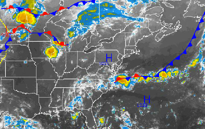
The tranquil and warm conditions in place throughout the Philadelphia and New York City metropolitan areas will continue through tomorrow. However, this warm and quiet weather pattern will come to a crashing end with a strong cold front on Saturday night and a return to more Fall like conditions by Sunday.
Today through tomorrow, high pressure will drift over the Philadelphia and New York City metropolitan areas with clear skies to scattered cloud cover. Winds will be light from the northwest at around 5 mph. Temperatures will remain above normal through the period. Temperatures this afternoon will rise into the mid to upper 80’s throughout the region for highs today. Tomorrow, temperatures will range from the lower to mid 60’s for lows and mid to upper 80’s for highs with increasing humidity expected.
On Saturday, a cold front will approach with showers and thunderstorms developing in the late afternoon hours. The cold front will drive through the region on Saturday night with widespread showers and thunderstorms expected. The strongest thunderstorms will be capable of wind gusts over 40 mph, frequent lightning, hail, and very heavy downpours. Rather tropical conditions will be in place with temperatures ranging from the mid to upper 60’s for lows and mid to upper 80’s for highs.
Find out what's happening in Freeholdfor free with the latest updates from Patch.
Cool, dry, Canadian high pressure will build into the northern Mid Atlantic on Sunday morning with clearing skies and crashing humidity. High pressure will remain in control through Tuesday with very pleasant weather conditions with low humidity and temperatures near normal for this time of year. Low temperatures on Sunday will range from the lower to mid 60’s. High temperatures on Sunday will only rebound into the mid to upper 70’s over the interior and upper 70’s to lower 80’s in urban areas and along the coast. Low temperatures on Monday and Tuesday will range from the mid to upper 50’s over the interior and upper 50’s to lower 60’s along the coast. High temperatures on Monday and Tuesday will range from the mid to upper 70’s over the interior and New York City metropolitan area and upper 70’s to lower 80’s over the Philadelphia metropolitan areas.


