Neighbor News
Tranquil conditions give way to coastal storm
Tranquil conditions today will give way to heavy rain on Thursday
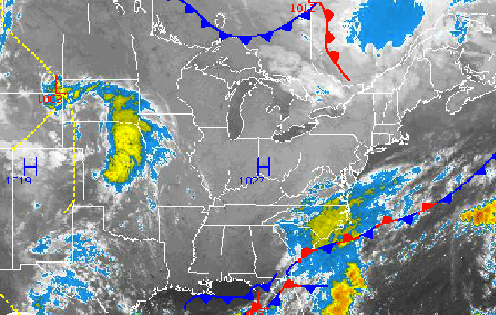
With looked like a tranquil weather pattern for the whole week has quickly changed to one where heavy rain will be on the way for Thursday. We can thank a rapidly developing disturbance over the Southeastern United States for the potential for rainfall on Thursday morning.
Today through tomorrow, high pressure over the Ohio River Valley will produce tranquil weather conditions with clear skies to scattered cloud cover. Winds will veer from the northwest to the north at 5 to 15 mph. Temperatures will rise into the upper 60’s to lower 70’s for highs this afternoon. Temperatures tomorrow will range from the upper 40’s to lower 50’s for lows and lower to mid 70’s for highs.
An area of low pressure off the Southeast coast will intensify and lift northward towards the New Jersey coastal waters tomorrow night leading to increasing clouds with periods of rain by Thursday morning. The rain will be heaviest along the New Jersey coast through eastern Long Island with a half an inch to an inch and a half of rain expected in these areas. Rainfall amounts of 0.25” to 0.50” of rain can be expected further to the west. Winds will veer to the northeast at 10 to 20 mph with higher gusts expected. Localized flash flooding is a threat along the coast along with some minor coastal flooding. The heaviest rainfall is expected from 5 Am Thursday through 2 PM Thursday. Low temperatures will range from the upper 50’s to lower 60’s. High temperatures will range from the lower to mid 60’s.
Find out what's happening in Freeholdfor free with the latest updates from Patch.
High pressure will take hold by Thursday night and will remain in control through Monday leading to clear skies to scattered cloud cover. Tranquil weather conditions will be in place with temperature near normal. Low temperatures will range from the lower to mid 50’s for lows and mid to upper 70’s for highs.


