After a couple of wet, windy, and cool days; the Philadelphia and New York City metropolitan areas are setting up for a very nice stretch of weather that will feature dry conditions, clear skies, and mild temperatures!
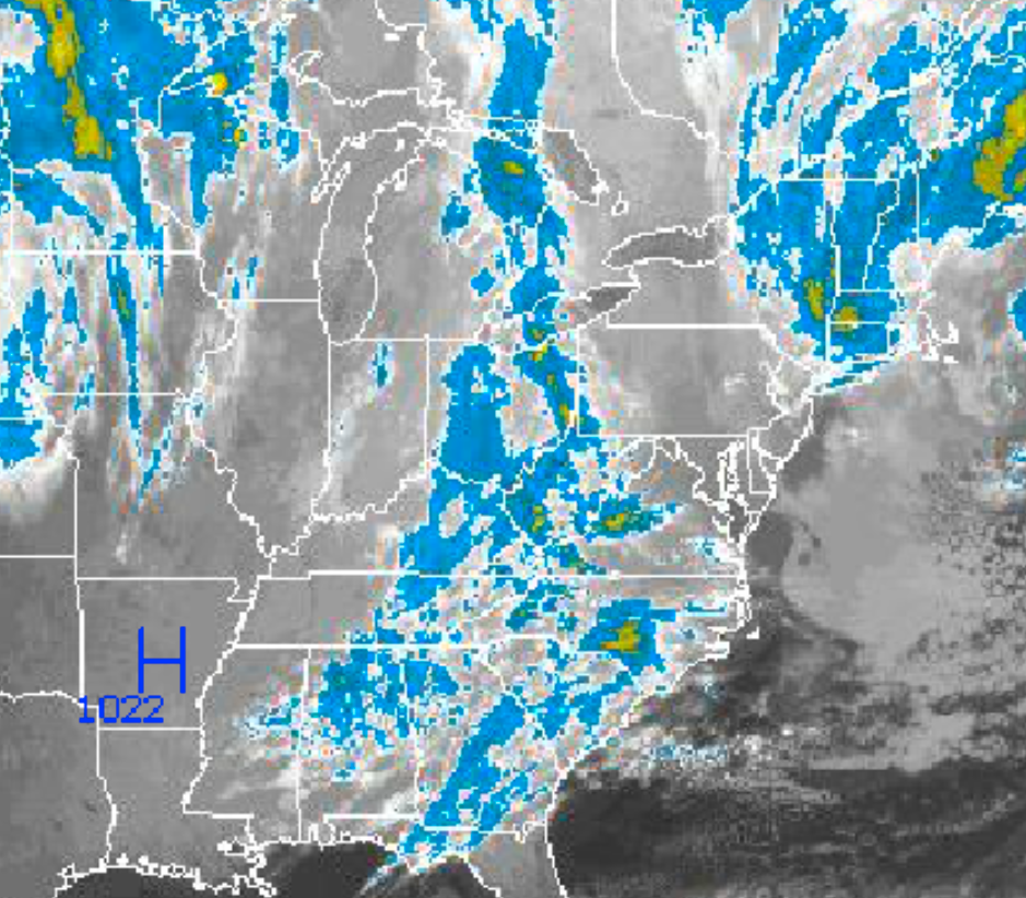
Skies will continue to clear today as the Nor’Easter departs into the Atlantic Ocean. Scattered cloud cover to clear skies can be expected this afternoon on through Sunday. A weak cold front will move through on Saturday night but will just feature a few scattered clouds. Winds will back from the northwest to west at 5 to 15 mph through the forecast period. Temperatures will rise into the mid 60’s this afternoon. Temperatures tomorrow will range from the lower to mid 40’s for lows and mid to upper 60’s for highs. Temperatures on Sunday will range from the mid to upper 40’s for lows and mid to upper 60’s for highs.
High pressure will remain in control on Monday and Tuesday with clear skies to scattered cloud cover. Winds will shift to the southwest as the high pressure systems slips off the coast and a cold front approaches from the west. Temperatures on Monday will range from the lower to mid 40’s for lows and lower to mid 60’s for highs. Temperatures on Tuesday will rate from the upper 40’s to lower 50’s for lows and upper 60’s to lower 70’s for highs.
Find out what's happening in Freeholdfor free with the latest updates from Patch.
A cold front will move through the region on Wednesday with periods of scattered showers. The showers will feature heavy downpours at times. Temperatures will range from the lower to mid 50’s for lows and mid to upper 60’s for highs.
High pressure will return on Thursday with clear skies and cooler temperatures. Low temperatures will range from the upper 30’s to lower 40’s for lows and mid to upper 50’s for highs.


