Community Corner
Tranquil conditions through the weekend
Excellent weather conditions will be in place for this weekend, but another storm may be brewing
Excellent weather conditions will be in place today on through this weekend with clear skies to scattered cloud cover and rather warm conditions for this time of year. The tranquil conditions will give way to another potential coastal storm by the middle of next week.
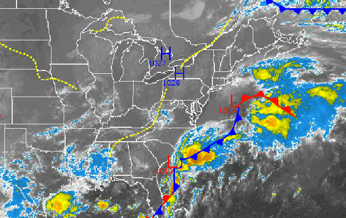
High pressure will be in place today on through Monday with clear skies to scattered cloud cover. Winds will be from the northwest at 5 to 10 mph this afternoon, backing to the south at 5 mph by tomorrow evening. Temperatures this afternoon will rise into the mid to upper 70’s for highs. Low temperatures tomorrow will range from the upper 40’s to lower 50’s over the interior and mid to upper 50’s along the coast. High temperatures tomorrow will range from the mid to upper 70’s throughout the northern Mid Atlantic. Temperatures on Sunday and Monday will range from the lower to mid 50’s for lows and upper 70’s to lower 80’s for highs. Temperatures will average near to above normal through the forecast period.
High pressure will slowly exit on Tuesday with increasing clouds through the day. An area of low pressure off the Mid Atlantic coast will produce periods of rain on Tuesday night into Wednesday which may be heavy at times. The exact track of the low is uncertain at this time. Temperatures on Tuesday and Wednesday will range from the mid to upper 50’s for lows and lower to mid 70’s for highs.
Find out what's happening in Freeholdfor free with the latest updates from Patch.
High pressure will build into the region on Thursday with clearing skies. Low temperatures will range from the mid to upper 40’s over the interior and lower to mid 50’s along the coast. High temperatures will range from the lower to mid 70’s.


