Community Corner
Unsettled conditions to start the week
Summer like weather gives way to a much cooler pattern by next weekend. Showers become a growing threat.
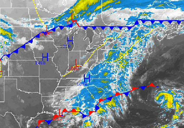
A series of weak disturbances will keep the threat of showers in the forecast through Wednesday as temperatures fall back to near normal levels. A strong cold front by Saturday morning will usher in a much stronger Polar air mass and far cooler weather by the end of next weekend.
Today on through Wednesday, a series disturbances will spawn areas of low pressure off the New Jersey coast that will track towards the New England coastal waters. These low pressure systems will produce broken to overcast cloud cover through the period and widely scattered to isolated showers. Most locations will have mostly dry conditions through the period with a tenth to a quarter of an inch of rain between now and Wednesday. However, along the immediate coast, a few showers will be capable of very heavy downpours leading to higher rainfall amounts. Winds will back from the south to the northeast at 5 to 15 mph by tomorrow morning. Winds tomorrow on through Wednesday will be from the northeast at 5 to 15 mph over the interior and 10 to 20 mph with higher gusts along the coast. Temperatures this afternoon will rise into the upper 70’s to lower 80’s for highs throughout the Philadelphia and New York City metropolitan areas. Temperatures tomorrow will range from the lower to mid 50’s for lows and lower to mid 70’s for highs. Temperatures on Wednesday will range from the mid to upper 50’s for lows and upper 60’s to lower 70’s for highs.
High pressure from Canada will be in control Thursday and Friday with clear skies to scattered cloud cover. The high pressure system will shift from the eastern Great Lakes to the New England coastal waters by Friday night. Temperatures will range from the lower to mid 50’s for lows and lower to mid 70’s for highs.
Find out what's happening in Freeholdfor free with the latest updates from Patch.
A strong cold front will drive through the Philadelphia and New York City metropolitan areas on Saturday with periods of rain, heavy at times. The best potential for rainfall will be on Saturday morning. Temperatures will range from the mid to upper 50’s for lows and lower to mid 70’s for highs.
Canadian high pressure will be in control on Sunday with clearing skies and breezy northwesterly winds at 15 to 25 mph. Low temperatures will range from the upper 30’s to lower 40’s over the interior and mid to upper 40’s along the coast. High temperatures will range from the upper 50’s to lower 60’s over the interior and lower to mid 60’s along the coast.


