Community Corner
Windy and Warm Conditions This Weekend
Windy and warming weekend on the way, but a stormy week follows for Thanksgiving travel
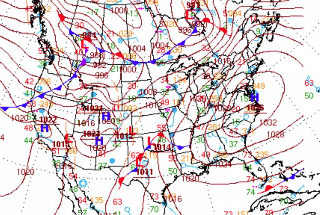
High pressure will continue to drift to the east today on through tomorrow leading to a strengthening southwesterly wind and warm conditions for this weekend. However, an area of low pressure developing in Oklahoma this morning will bring periods of rain to the region on Monday. Then as colder air builds in, some wintery mischief is possible for your Thanksgiving weekend.
Today on through tomorrow, high pressure will slowly drift east with increasing clouds through the period. Winds will be from the southwest at 10 to 20 mph with gusts over 25 mph at times. Winds will shift to the south by tomorrow evening. Temperatures this afternoon will rise into the lower to mid 40’s. Temperatures tomorrow morning will range from the upper 20’s to lower 30’s over the interior and lower to mid 30’s along the coast for lows. Temperatures tomorrow afternoon will range from the lower to mid 50’s throughout the northern Mid Atlantic.
A warm front will drive through the Philadelphia and New York City metropolitan areas tomorrow night on through Monday morning with periods of moderate to heavy rain. A cold front will follow on Monday afternoon with periods of rain and a few embedded thunderstorms. Rainfall amounts through the period will range from 0.50″ to 1.50″ by Monday night. Temperatures will be very mild with low temperatures in the lower to mid 40’s and high temperatures in the lower to mid 60’s.
Find out what's happening in Freeholdfor free with the latest updates from Patch.
With the cold front exiting on Monday night, cold air will slowly build into the region through Tuesday. Skies will slowly clear on Tuesday with generally dry conditions expected. High temperatures will be in the early morning in the lower to mid 50’s. Temperatures will slowly fall through the 50’s and 40’s through the day on Tuesday.
An area of low pressure will develop along the Southeast coast meanwhile on Tuesday night. This low pressure system will interact with another disturbance over the Tennessee River Valley by Wednesday morning. This low pressure system will then intensify and track northeast over the New Jersey coastal waters before exiting into the northwestern Atlantic on Thanksgiving morning. The track of this storm remains uncertain however there is potential for this storm to intensify and produce periods of rain and snow along the coast and a wintery mix to snow over the interior before exiting which would have significant impacts on travel. However, there is just as much potential that the storm is a bit too far east leading to only a few rain and snow showers along the coast with minimal impacts. Temperatures on Wednesday will range from the upper 20’s to lower 30’s for lows and lower to mid 40’s for highs. Temperatures on Thanksgiving will range from the upper 20’s to lower 30’s for lows and upper 30’s to lower 40’s for highs.
Find out what's happening in Freeholdfor free with the latest updates from Patch.
High pressure will be in place for Thanksgiving night on through Friday with clearing skies. Temperatures will range from the upper 20’s to lower 30’s for lows and lower to mid 40’s for highs.


