Community Corner
Winter storm targets at height of holiday travel
A major winter storm will target the region tomorrow with significant impacts on travel
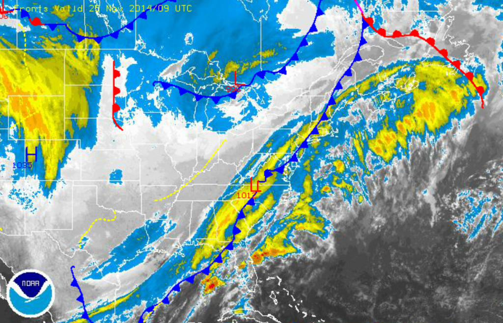
A winter storm is developing for the Philadelphia and New York City metropolitan areas at about the worst time possible, just a day before Thanksgiving, the busiest travel day of the year. An area of low pressure will develop in the Gulf of Mexico, lift northeast towards the Mid Atlantic coast by tomorrow morning and then track to the southeast of New England by Thanksgiving morning. This storm track will bring rain, a wintery mix, and then snow to the region tomorrow morning on through early Thanksgiving night. Tranquil weather will settle in for the rest of the holiday weekend.
A cold front will continue to press to the east this morning and stall off the northern Mid Atlantic coast by this afternoon. Winds will veer to the west at 10 to 20 mph this morning, which will transport cold air into the Philadelphia and New York City metropolitan area. Today’s highs have already occurred this morning with temperatures in the upper 50’s to lower 60’s. Temperatures will fall through the 50’s and into the 40’s by this evening.
Clouds will continue to increase tonight as the storm develops along the eastern Gulf of Mexico and starts to lift north towards the coastal waters of North Carolina. Rain will develop towards morning for the entire region as temperatures slowly fall into the mid to upper 30’s. The rain mix with snow from the start over the interior. Winds will veer to the north at 10 to 20 mph.
Find out what's happening in Freeholdfor free with the latest updates from Patch.
As the low pressure system lifts towards the New Jersey coastal waters tomorrow afternoon, cold air will be drawn towards the coast. Temperatures will peak in the mid to upper 30’s over the interior and upper 30’s to lower 40’s along the coast in the early morning hours and then steadily fall into the upper 20’s to lower 30’s over the interior and lower to mid 30’s along the coast by the afternoon. The falling temperatures will support all rain to change over to snow in the afternoon and evening. The snow will then start to accumulate and will be heavy at times in the afternoon and evening. Winds will veer to the northeast at 15 to 25 mph.
The expected snowfall accumulations and details on timing can be found here.
Find out what's happening in Freeholdfor free with the latest updates from Patch.
The storm will exit by Thanksgiving morning with clearing skies at day break. High pressure will take hold for Thanksgiving on through Sunday with clear skies to scattered cloud cover expected. Temperatures on Thanksgiving will range from the mid to upper 30’s over the interior and upper 30’s to lower 40’s along the coast for highs. Temperatures on Friday and Saturday will range from the upper 10’s to lower 20’s over the interior and mid to upper 20’s along the coast for lows and upper 30’s to lower 40’s for highs throughout the region. Temperatures on Sunday will rebound into the upper 20’s to lower 30’s for lows and upper 40’s to lower 50’s for highs.
A cold front will approach on Monday with showers in the evening. Temperatures will range from the lower to mid 30’s for lows and upper 40’s to lower 50’s for highs.


