Community Corner
Winter on the way for end of the week
Mild conditions will give way to winter like conditions as an Arctic cold front targets the region
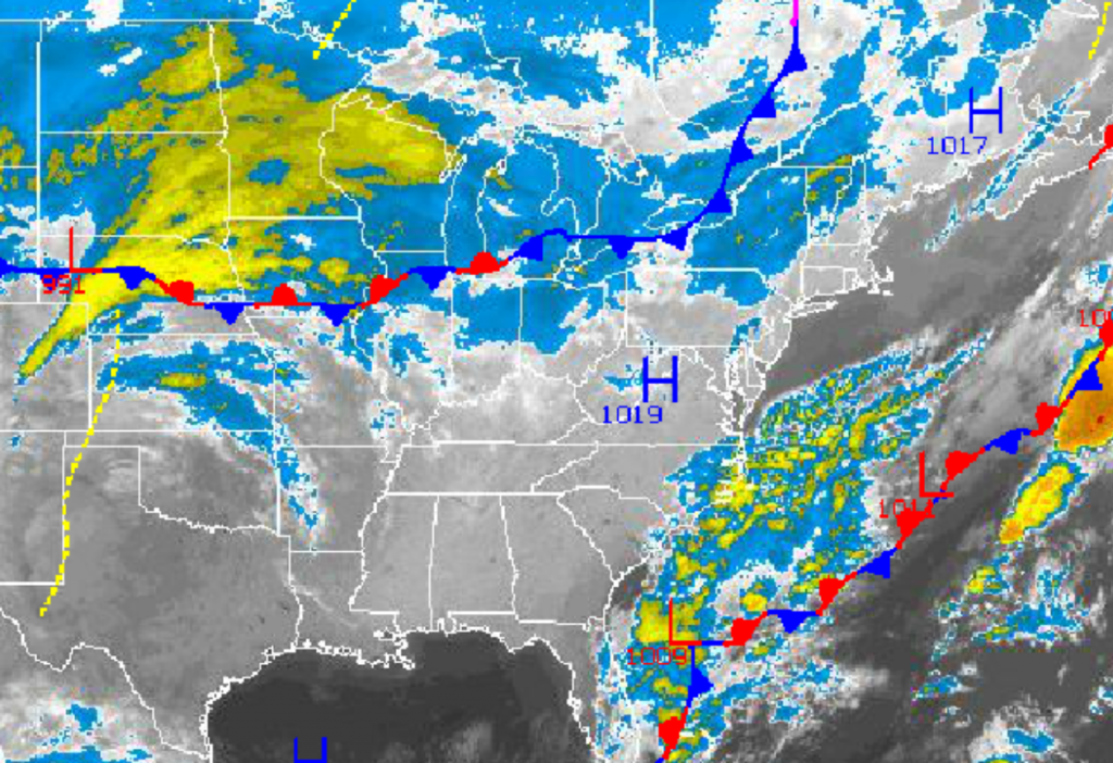
Another warm start to the work week will give way to the arrival of winter like temperatures as an Arctic cold front drives through the region on Wednesday. However, for the start of the week, mild Pacific high pressure will be in control leading to tranquil weather conditions.
Today through tomorrow, high pressure will produce clear skies to scattered cloud cover. Winds will back to the southeast at 5 to 15 mph through tomorrow, increasing to 10 to 20 mph by tomorrow evening. Temperatures will average above normal through tomorrow. Temperatures this afternoon will rise into the upper 50’s to lower 60’s for highs. Temperatures tomorrow morning will range from the mid to upper 30’s over the interior and lower to mid 40’s along the coast for lows. High temperatures tomorrow afternoon will rise into the lower to mid 60’s.
An area of low pressure off the Florida coast this morning will lift northeast to around 300 miles off the New Jersey coast. This low pressure system will slow the approach of the Arctic cold front on Wednesday with overcast skies and a few scattered showers. The Arctic cold front will drive through the Philadelphia and New York City metropolitan areas by Wednesday afternoon with additional showers. Winds will veer from the southeast to northwest at 10 to 20 mph with higher gusts in the afternoon and evening. Low temperatures on Wednesday morning will range from the mid to upper 40’s over the interior and upper 40’s to lower 50’s along the coast. High temperatures ahead of the cold front will range from the mid 50’s over the interior and upper 50’s to lower 60’s along the coast. Temperatures will fall through the 50’s, 40’s, and 30’s in the late afternoon and evening hours.
Find out what's happening in Freeholdfor free with the latest updates from Patch.
Arctic high pressure will be in place on Thursday with scattered cloud cover and much colder temperatures. Low temperatures will range from the mid to upper 20’s over the interior and lower to mid 30’s along the coast. High temperatures will struggle in the mid 40’s throughout the region.
A wave of low pressure will develop along the Arctic cold front on Friday morning producing rain and snow showers along the coast and snow showers over the interior. Some minor accumulations of snow is possible for elevations over 500 feet. Low temperatures will range from the mid to upper 20’s over the interior and upper 20’s to lower 30’s along the coast. High temperatures will range from the lower to mid 40’s throughout the region.
Find out what's happening in Freeholdfor free with the latest updates from Patch.
Arctic high pressure will be in control Friday evening on through Sunday with clear skies to scattered cloud cover. Temperatures will average well below normal for this time of year. Low temperatures will range from the lower to mid 20’s over the interior and upper 20’s to lower 30’s along the coast. High temperatures will range from the upper 30’s to lower 40’s over the interior and mid 40’s along the coast.


