Weather
Hoboken Under Flood Watch: See Risk Maps For Thursday
Severe weather and floods are possible in Hoboken again on Thursday, the NWS says. See the risk maps.


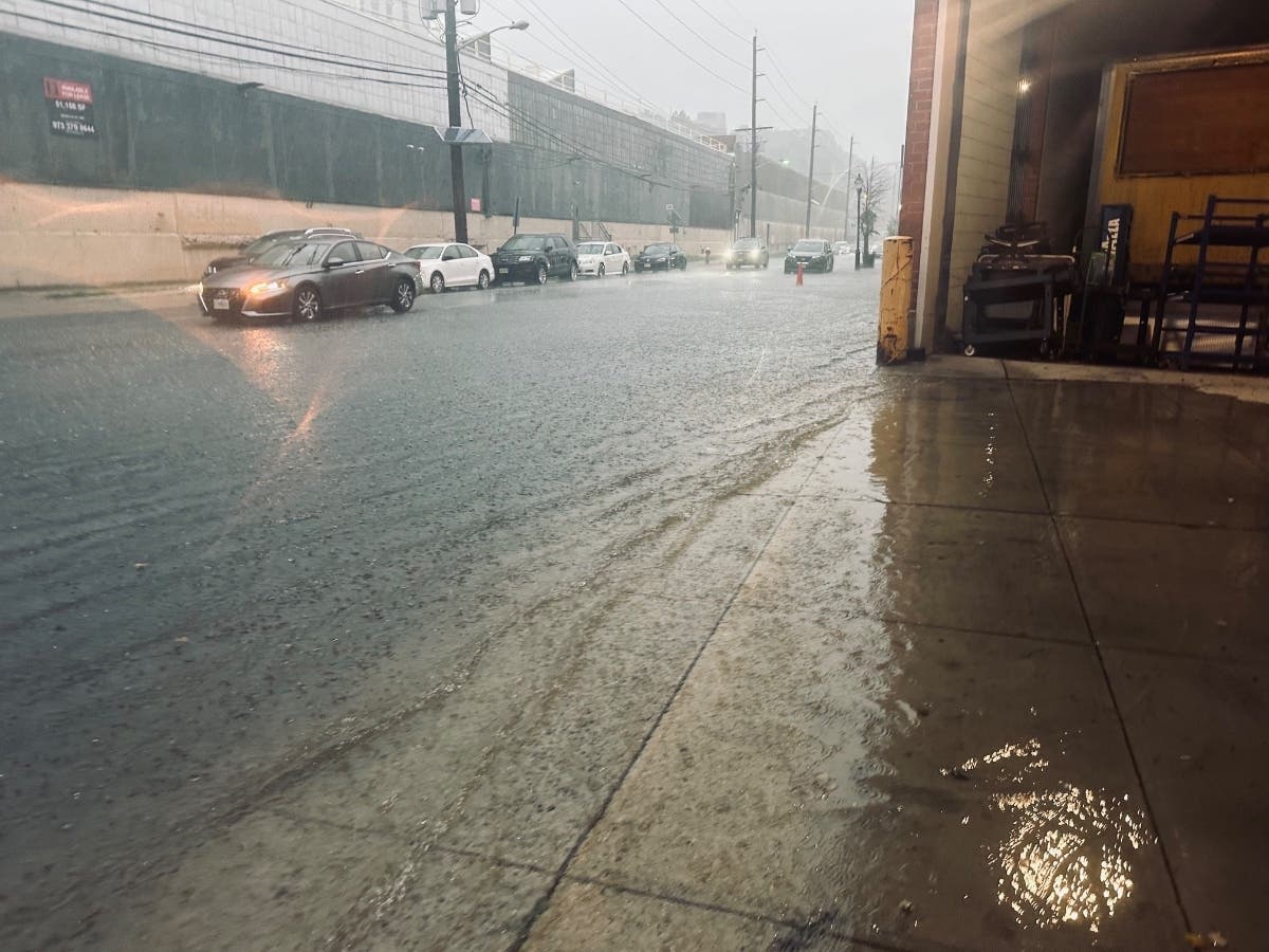
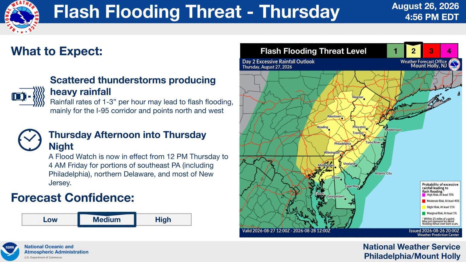
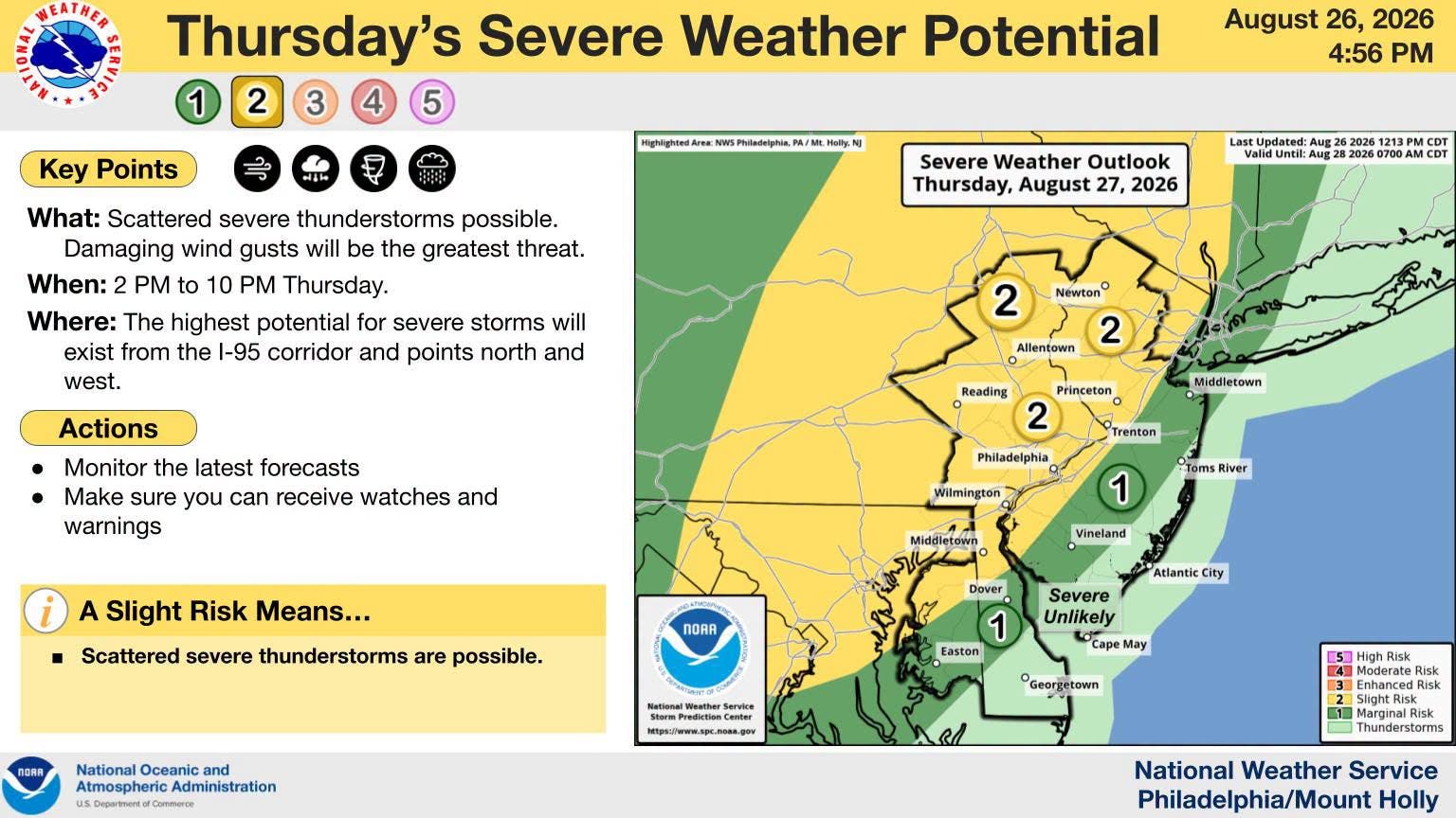
HOBOKEN, NJ — A flood watch is in effect for Hoboken on Thursday from noon until 11 p.m.
The National Weather Service said up to three quarters of an inch of rain may fall during the day, with showers and thunderstorms most likely between 11 a.m. and 2 p.m. But rain or thunderstorms may occur any time until 2 a.m. Friday morning.
Low-lying areas of Hoboken are more likely to flood during high tide or a concentrated downpour. On Thursday, high tide will come at 9:06 p.m.
Find out what's happening in Hobokenfor free with the latest updates from Patch.
Last Week's Record Rains
A storm that caused flash flooding throughout Hoboken last Thursday night dumped the most rain on the area since a downpour in 2024, the city said in a recap on Friday. The city said 2.71 inches fell that evening.
Find out what's happening in Hobokenfor free with the latest updates from Patch.
SEE PHOTOS: Hoboken Floods During Downpour
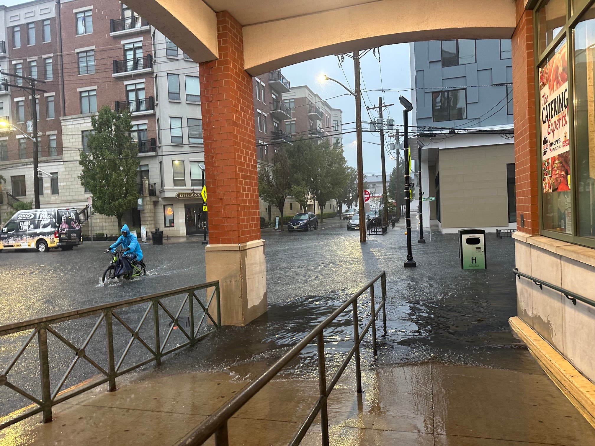
As reported on Patch, drivers and pedestrians around town got caught in the sudden and long downpour after 5:30 p.m. on Friday. In nearby Jersey City, 69 drivers had to be rescued.
Hoboken officials have said in the past that the city's low-lying areas can flood if more than .8 inch of rain falls in an hour. The National Weather Service had predicted as much as 3-5 inches could fall per hour in North Jersey.
Residents can report a clogged sewer to the NHSA hotline at (866) 689-3970.
Get more local news delivered straight to your inbox. Sign up for free Patch newsletters and alerts.