Weather
Thunderstorms And Steep Temperature Drop In Jersey City Weather Forecast: See Timing
Thunderstorms, heavy rain, and a 35-degree temperature drop are in the Jersey City forecast. See timing and track the storms.

JERSEY CITY, NJ — Temperatures will rise and plummet through Tuesday as the first days of spring may bring thunderstorms and rain to Jersey City.
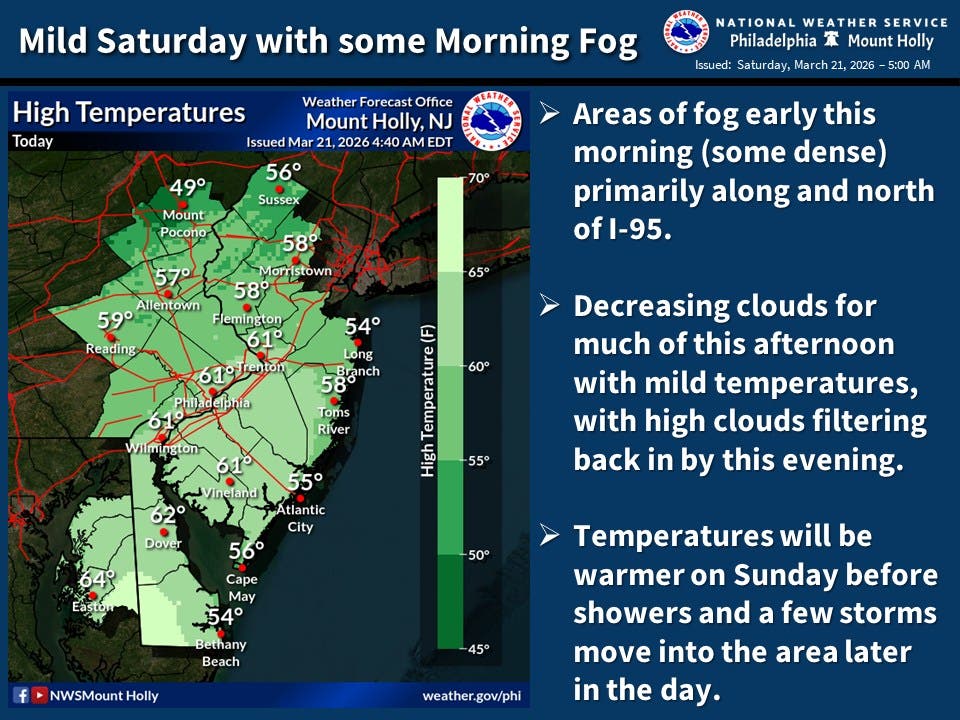
The National Weather Service says temperatures Sunday will climb to 68, but clouds will move in.
On Sunday night, there's a chance of rain and thunderstorms until 8 p.m., and then rain after 8 p.m. The chance of precipitation is 90 percent. A quarter to a half inch of rain may fall.
Find out what's happening in Jersey Cityfor free with the latest updates from Patch.
Monday, there's a 30 percent chance of rain before 2 p.m. Temperatures will drop to 33 that night, the NWS says, but they'll approach 50 on a sunny Tuesday.
Statewide, the National Weather Service says, "Warmer to end the weekend before a strong cold front moves through late Sunday into Sunday night with some showers and potentially strong to severe thunderstorms. Turning colder with gusty winds to start the new week."
Find out what's happening in Jersey Cityfor free with the latest updates from Patch.
Local Links To Track Storms
- Keep an eye on the radar here.
- Check out the Accuweather Minutecast here.
- See a current map of all watches and warnings in New Jersey here.
- The NOAA (National Oceanic and Atmospheric Administration) keeps us informed about larger weather events. Follow them here.
Updated NWS forecasts, watches, and warnings in each county:
Get more local news delivered straight to your inbox. Sign up for free Patch newsletters and alerts.