Crime & Safety
Map, List Of N.J. Towns Still At Risk Of Flooding In Lawrenceville Area
A map and list of N.J. towns still at risk of flooding in the aftermath of Blizzard 2016. Snow melting could pose a risk for inland rivers.

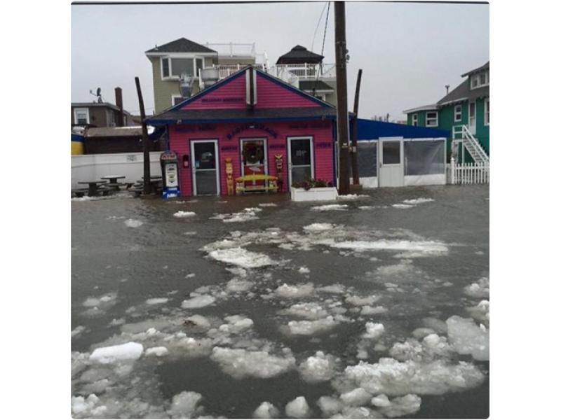
The wrath of Blizzard 2016 may not be over.
The weekend storm may have pushed some areas into a flood zone, and the below map allows you to monitor water levels in New Jersey and on inland streams as 3 feet of snow begins to melt.
Click here for live updates on school closings, snow amounts throughout N.J.
The map is updated every two minutes and shows when coastal and inland areas are at either minor, moderate or major flooding risk of flooding.
Click on the dots for data from the National Weather Service, courtesy of WNYC:
Get more local news delivered straight to your inbox. Sign up for free Patch newsletters and alerts.