Weather
Slippery Tuesday Commute In NJ: Here's What To Expect
A hazardous weather outlook has been issued for half of New Jersey. The weather is supposed to get worse later in the week.

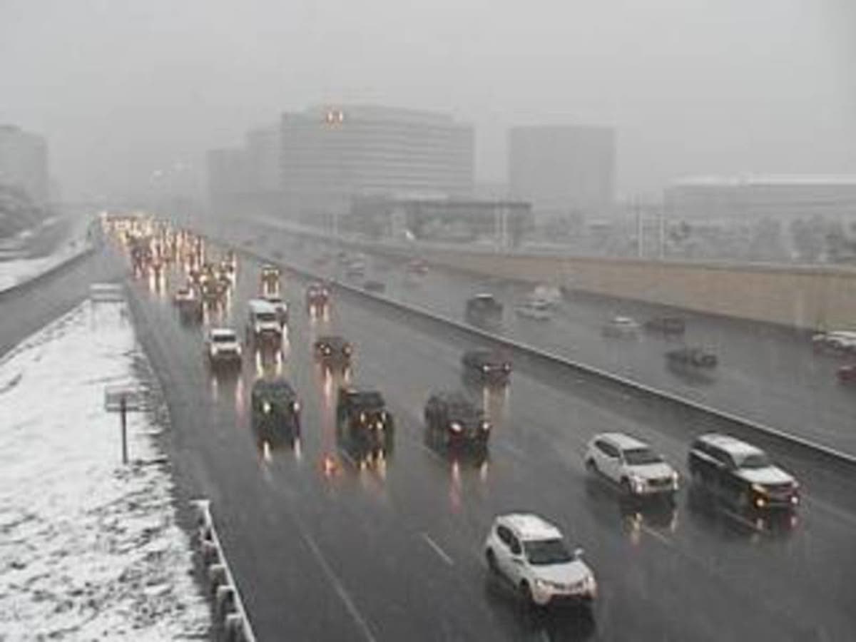
Either snow or rain could make your commute more treacherous than usual on Tuesday afternoon. Either way, things could get a little slippery for the hundreds of thousands of people who commute in New Jersey every day.
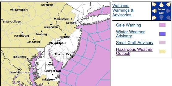
The National Weather Service has issued a hazardous weather outlook for North and Central Jersey, saying scattered snow showers are possible this afternoon and could result in hazardous travel.
That bad weather won't escape residents of the Jersey Shore and South Jersey, however. Gale-force winds moving as fast as 28 mph could impact residents throughout the state. And if you don't get snow, you're probably going to get rain, according to the National Weather Service.
Find out what's happening in Manasquan-Belmarfor free with the latest updates from Patch.
The weather is expected to get worse later in the week, and all of New Jersey is expected to get some snowflakes by Thursday or Friday. Read more: 3 Chances Of Snow In This Week's NJ Forecast
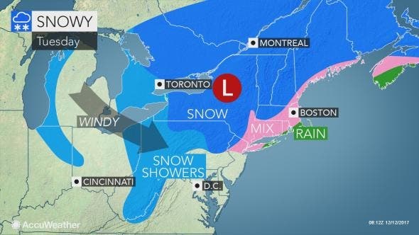
The Alberta clipper storm will lay a swath of snow and slippery travel in the Northeast into Tuesday evening. The right ingredients will come together for this clipper to gain moisture and strength as it pushes toward the Atlantic coast into Tuesday evening, according to AccuWeather.
Find out what's happening in Manasquan-Belmarfor free with the latest updates from Patch.
Residents should prepare for travel delays to mount during this time. While snow amounts will be less than in areas farther north in these areas, roads may still turn slippery or slushy. Any snow that flies in the Philadelphia area, New Jersey and New York City is not expected to accumulate much, according to AccuWeather.
Here is the weather forecast:
- Tuesday afternoon: A chance of showers. Mostly cloudy, with a high near 49. Southwest wind around 8 mph, with gusts as high as 22 mph. Chance of precipitation is 40 percent. New precipitation amounts of less than a tenth of an inch possible.
- Tuesday night: A slight chance of rain showers before 10pm, then a slight chance of snow showers. Mostly cloudy, with a low around 23. West wind 10 to 14 mph, with gusts as high as 29 mph. Chance of precipitation is 20 percent.
- Wednesday: Mostly sunny, with a high near 32. Breezy, with a west wind 16 to 22 mph, with gusts as high as 36 mph.
- Wednesday night: A chance of snow showers, mainly after 2am. Increasing clouds, with a low around 19. West wind 6 to 16 mph. Chance of precipitation is 40%. Little or no snow accumulation expected.
- Thursday: A chance of snow showers, mainly before 8am. Mostly cloudy, with a high near 34. Northwest wind around 6 mph. Chance of precipitation is 40%. Little or no snow accumulation expected.
- Thursday night: A slight chance of snow showers before 8pm. Mostly cloudy, with a low around 21. Chance of precipitation is 20%.
- Friday: A chance of snow after 8am. Mostly cloudy, with a high near 33. Chance of precipitation is 30 percent.
- Friday night: A chance of snow before 8pm. Mostly cloudy, with a low around 20. Chance of precipitation is 30 percent.
Image: CDOT
Get more local news delivered straight to your inbox. Sign up for free Patch newsletters and alerts.