Weather
Storm Timeline: Hazardous Weather Outlook Issued
The National Weather Service has issued a Hazardous Weather Outlook across New Jersey, warning of severe thunderstorms Sunday.


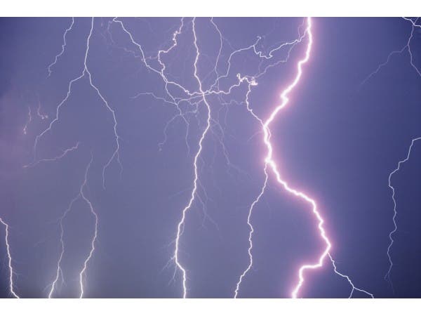
The threat of severe storms increases across the region on Sunday, according to the National Weather Service.
The National Weather Service has issued a Hazardous Weather Outlook across New Jersey, saying "severe" thunderstorms are possible Sunday afternoon and evening. "The primary hazard is damaging winds," the NWS says.
Some of these storms could produce heavy rain, which could lead to flooding in areas with poor drainage, according to the weather service.
Find out what's happening in Moorestownfor free with the latest updates from Patch.
Alerts may be needed Sunday afternoon and evening across the Mid-Atlantic, with threat of downed trees, tree limbs and power outages, according to the Weather Channel. Some hail and a few tornadoes are also possible in some areas.
The good news is, skies are expected to clear overnight, with mostly sunny skies and highs in the 80s Monday.
Find out what's happening in Moorestownfor free with the latest updates from Patch.
Here's the latest storm timeline, according to the National Weather Service:
SUNDAY
- 7 to 10 a.m. - showers/light rain possible
- 10 a.m. to 7 p.m. -scattered thunderstorms, 40-60 precent chance
- 7 p.m. to 11 p.m. - thunderstorms, 55-65 percent chance
- 11 p.m. to midnight - scattered thunderstorms, 40 percent chance
Get more local news delivered straight to your inbox. Sign up for free Patch newsletters and alerts.