Community Corner
Arctic Blast Arrives Monday, Single-Digit Temps Possible
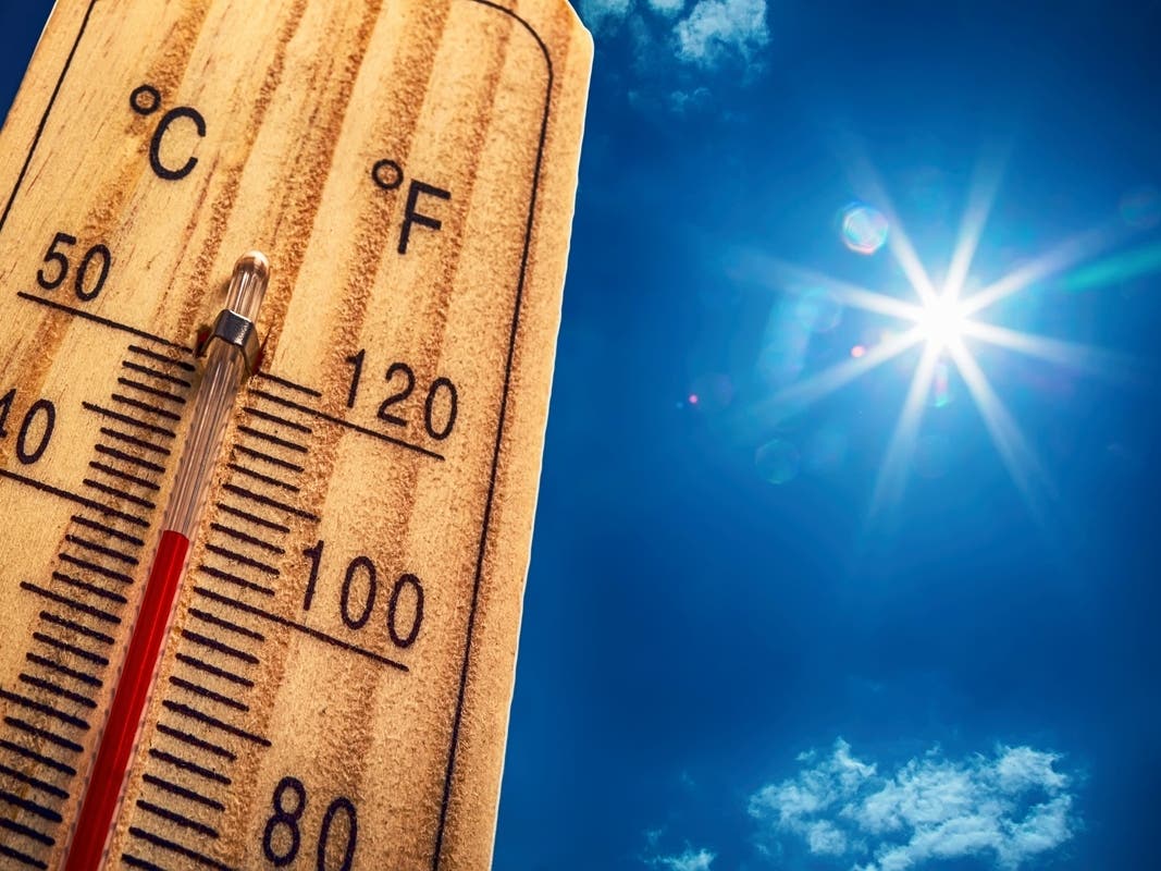
The record-breaking warm temperatures of December will be a thing of the past early this week.

The record-breaking warm temperatures of December will be a thing of the past early this week, as an Arctic air blast makes its way to New Jersey.
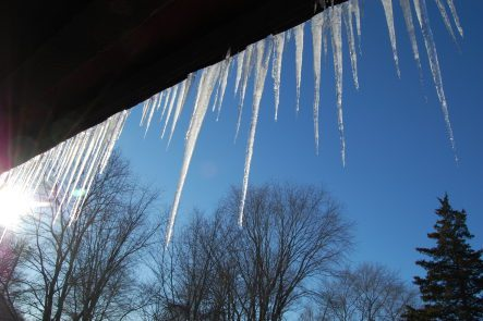
Some parts of the state could see temperatures in the single-digits during the stretch of frigid weather, which is expected to last until mid-week.
The National Weather Service predicts temperatures overnight Sunday into Monday will drop down to the 20s. Daytime highs Monday will be in the low 30s across the state, even chillier in the northern parts.
Find out what's happening in Morristownfor free with the latest updates from Patch.
Scattered flurries are possible in the area Monday afternoon and night, when temperatures will dip to the low teens in most areas. Some parts of North Jersey, including Morris and Sussex counties, will see single-digit temperatures with windchill values below zero.
Temperatures will stay cold Tuesday, with overnight lows in the upper teens. Wednesday’s high will be in the upper 30s to 40s, with overnight lows in the 20s in many areas.
Find out what's happening in Morristownfor free with the latest updates from Patch.
Milder air returns Thursday, when temperatures in the mid 40s are predicted throughout the region.
Get more local news delivered straight to your inbox. Sign up for free Patch newsletters and alerts.