Weather
N.J. Weather: 'Accumulating' Snow Possible, Hazardous Weather Outlook Issued
Several days of a wintry mess may be coming, and it could impact your commute. The National Weather Service has issued an alert.

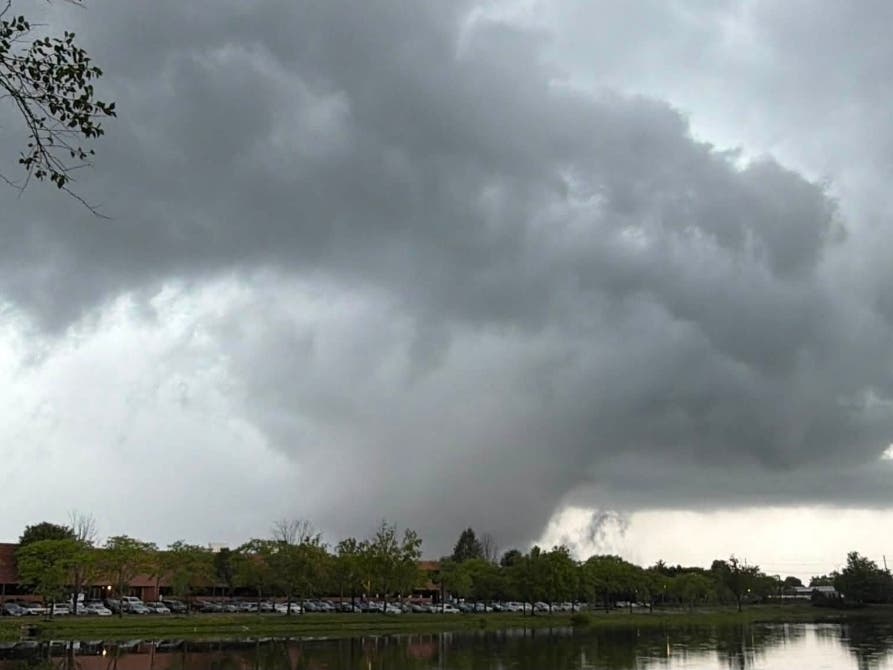
A wet, white, wintry mess could be coming to New Jersey, and it may have an impact for several days — particularly on your Friday commute.
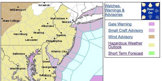
The National Weather Service has issued a "hazardous weather alert," saying accumulating snow is possible Thursday night through Friday morning, with the heaviest of the snow falling during the Friday morning commute.
At the same time, the NWS and AccuWeather have backed away from a prediction of snow on Sunday, pushing the prediction to Monday night and Tuesday of next week.
Find out what's happening in Morristownfor free with the latest updates from Patch.
AccuWeather said in a release that the snow and wintry mix could be the first of three disruptive snowstorms to parade through New Jersey in mid-March.
Over much of the next 10 days or so, cold weather will be more persistent than it has been during the past 10 weeks, relative to average. The pattern will pave the way for opportunities for snow, according to AccuWeather.
Find out what's happening in Morristownfor free with the latest updates from Patch.
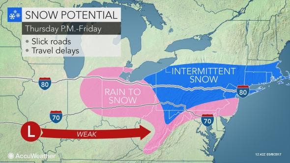
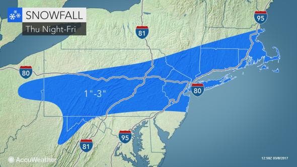
AccuWeather said as many as 1 to 3 inches could fall in northern New Jersey on Thursday and Friday as temperatures drop.
Here is the NWS weather forecast for the next week:
- Wednesday: Mostly sunny, with a high near 56. West wind 10 to 18 mph, with gusts as high as 36 mph.
- Wednesday night: Mostly clear, with a low around 36. West wind 11 to 15 mph.
- Thursday: Mostly sunny, with a high near 51. West wind 11 to 16 mph.
- Thursday night: A chance of rain before 2am, then a chance of rain and snow between 2am and 3am, then a chance of snow after 3am. Mostly cloudy, with a low around 29. North wind 3 to 7 mph. Chance of precipitation is 50%. New snow accumulation of less than a half inch possible.
- Friday: Snow likely before 11 am, then rain and snow likely. Mostly cloudy, with a high near 36. Light north wind becoming northwest 5 to 10 mph in the morning. Chance of precipitation is 60%. New snow accumulation of 1 to 2 inches possible.
- Friday night: A slight chance of snow showers before 8pm. Partly cloudy, with a low around 16. Chance of precipitation is 20%.
- Saturday: Mostly sunny, with a high near 27.
- Saturday night: Partly cloudy, with a low around 16.
- Sunday: Partly sunny, with a high near 30.
- Sunday night: Partly cloudy, with a low around 17.
- Monday: Mostly sunny, with a high near 36.
- Monday night: A chance of snow. Mostly cloudy, with a low around 26. Chance of precipitation is 50%.
- Tuesday: A chance of rain and snow. Mostly cloudy, with a high near 40. Chance of precipitation is 40%.
AccuWeather photo
Get more local news delivered straight to your inbox. Sign up for free Patch newsletters and alerts.