Weather
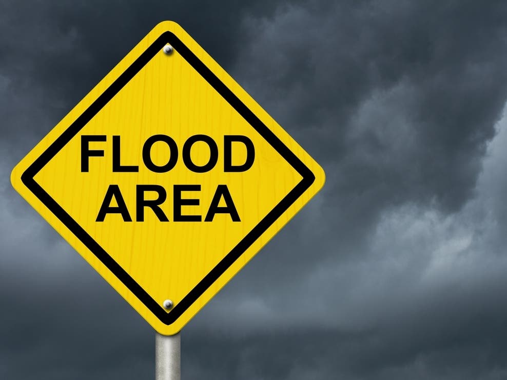
An Inch Of Rain Could Still Leave Morristown Flooded Wednesday
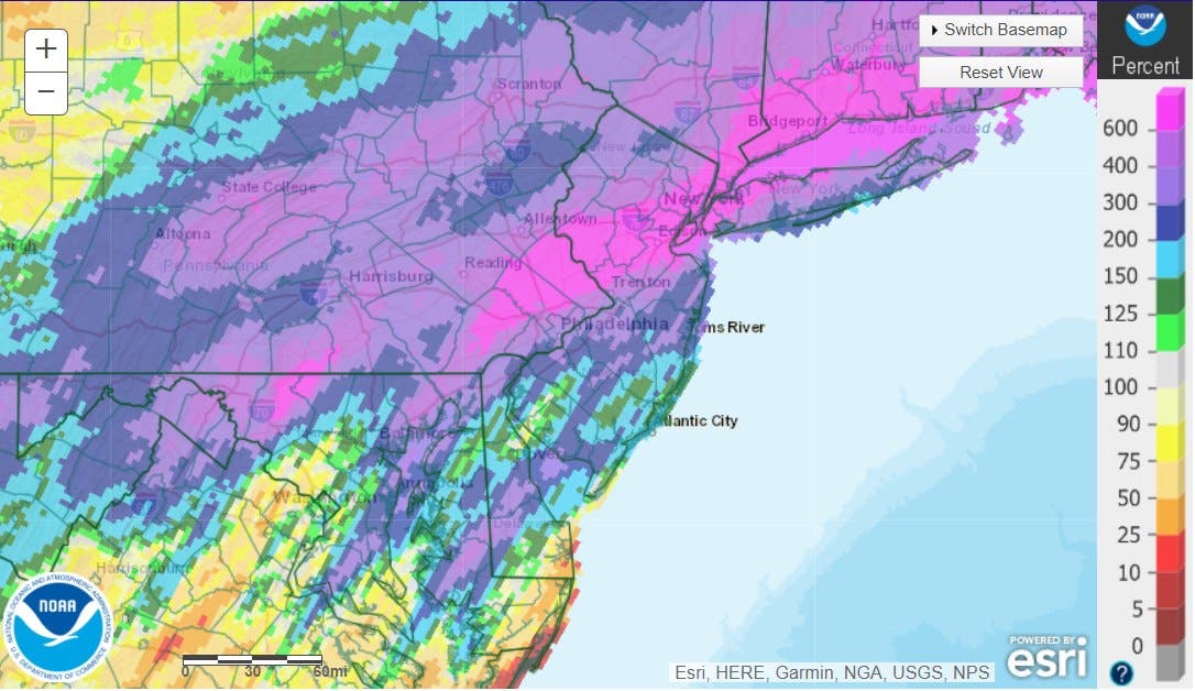
Morristown received 600 percent more rainfall than normal this past week, which officials say leaves it vulnerable to more flooding.


MORRISTOWN, NJ — The good news? Officials don't expect Morristown to get 6 inches of rain again. However, even an inch or two could leave the town with more flooding into Thursday.
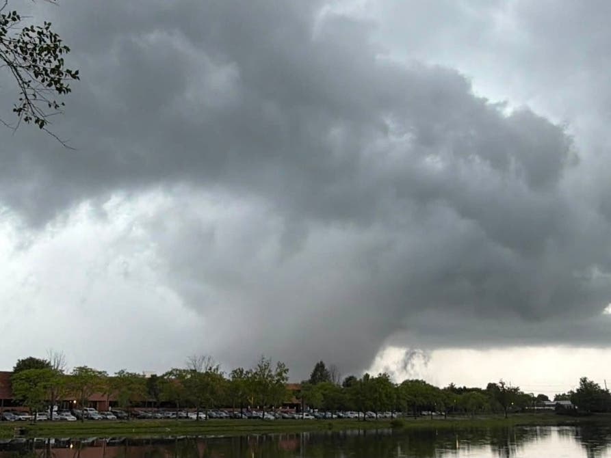
The remnants of Hurricane Ida pummelled nearly all of New Jersey last week. But Morristown was among the areas especially hard-hit, gathering 600 percent more rain than normal over the past week.
The National Weather Service projects that Morristown will get a half-inch to an inch of rain Wednesday into Thursday. That's significantly less than the 6 inches reported after Ida passed through. Read more: Morristown Gets 6 Inches Of Rain, Roads Flood From Ida
Find out what's happening in Morristownfor free with the latest updates from Patch.
But since the grounds remain heavily saturated, a brief, heavy rainfall of 1 or 2 inches could quickly lead to flooding. Last week, officials closed off Martin Luther King Avenue, Flagler Street and Bishop Nazery Way because of extensive flooding.
Bethel Church Pastor Sydney Williams took a live video of the flooded streets and parking lot, urging the town to take action on flood mitigation in the area.
Find out what's happening in Morristownfor free with the latest updates from Patch.
"The Black population in Morristown has been greatly depleted due to so-called urban renewal and a lack of environmental justice," Williams said. Read more: Pastor Urges Flood Mitigation For Black Community In Morristown
But the town responded that it was a "blessing" that the flooding around the Whippany River receded within hours, without impacting occupied structures.
"Let's not ignore the strides that have been made here that prevented more extensive damage and preserved the area properties and churches that were in harm's way 10 years ago," the town told Patch.
The National Weather Service issued a flood watch for much of North Jersey, including the Morristown area, that lasts from 4 p.m. Wednesday to 2 a.m. Thursday, with the last four hours representing the "primary window of concern."
Here's the forecast for Morristown as of 1:30 p.m. Wednesday:
- Wednesday afternoon: A chance of showers and thunderstorms, mainly after 2pm. Some of the storms could produce heavy rainfall. Partly sunny, with a high near 83. South wind around 10 mph, with gusts as high as 25 mph. Chance of precipitation is 40%. New rainfall amounts of less than a tenth of an inch, except higher amounts possible in thunderstorms.
- Wednesday night: Showers and thunderstorms, mainly before 2am. Some of the storms could produce gusty winds and heavy rain. Low around 65. South wind 5 to 10 mph becoming west after midnight. Winds could gust as high as 20 mph. Chance of precipitation is 90%. New rainfall amounts between three quarters and one inch possible.
- Thursday: A slight chance of showers and thunderstorms before 9am, then a chance of showers between 9am and 2pm. Mostly cloudy, with a high near 76. Northwest wind around 5 mph. Chance of precipitation is 30%. New precipitation amounts of less than a tenth of an inch, except higher amounts possible in thunderstorms.
- Thursday night: Mostly cloudy, then gradually becoming mostly clear, with a low around 59. Northwest wind around 5 mph.
Thanks for reading. Learn more about posting announcements or events to your local Patch site. Have a news tip? Email josh.bakan@patch.com. Subscribe to your local Patch newsletter and follow the Morristown Patch Facebook page.
Get more local news delivered straight to your inbox. Sign up for free Patch newsletters and alerts.