Weather
Rare Summer Nor'easter Hits N.J. Coast, South Jersey
The storm was expected to come to New Jersey and stop, and churn for hours.

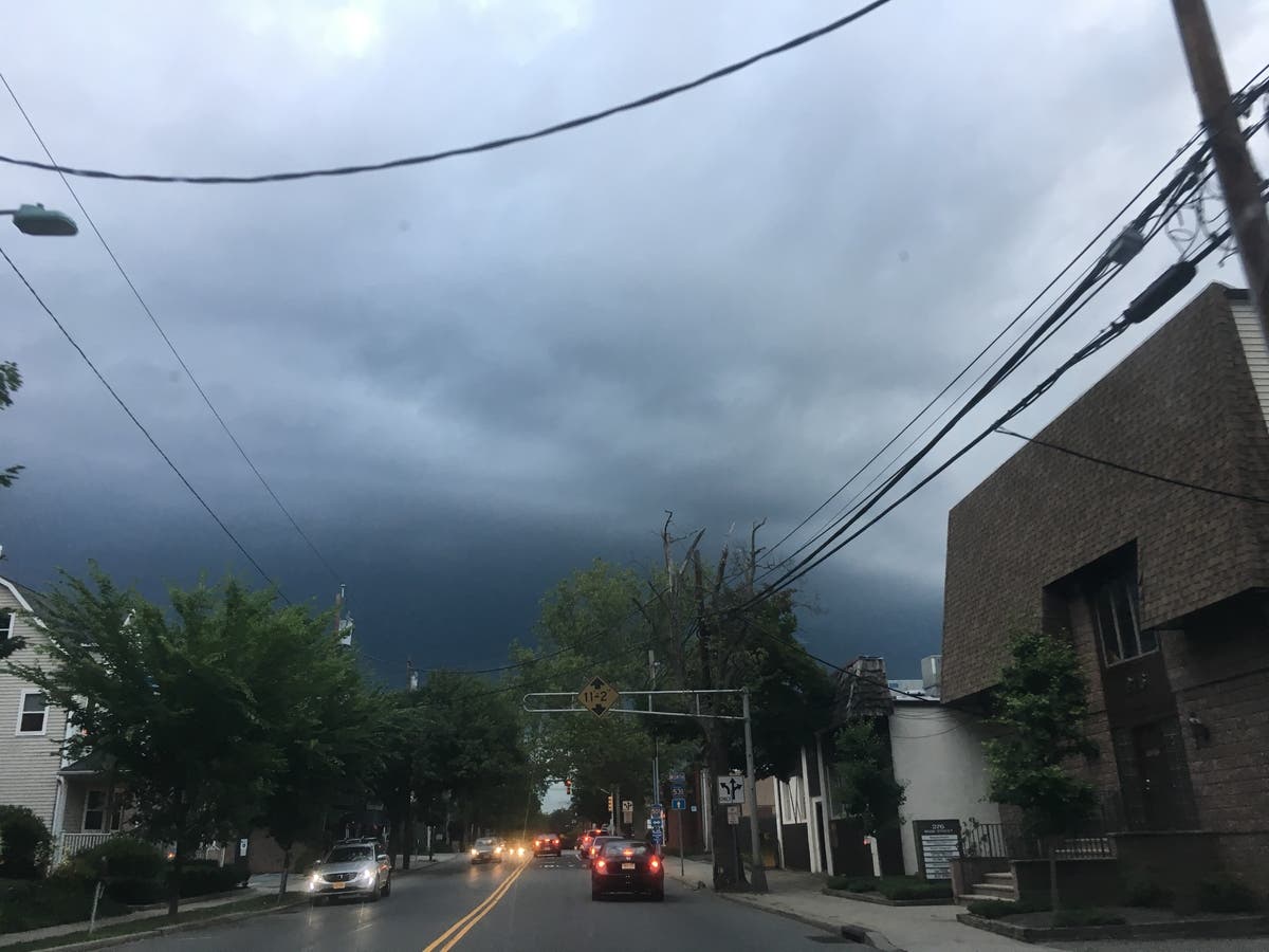
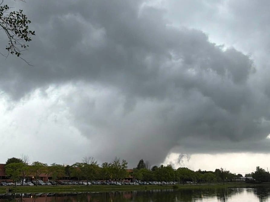
A rare summer nor'easter hit parts of New Jersey Saturday, bringing thunderstorms, gusty winds and drenching downpours.
As of Saturday morning at 9:30 a.m., the storm was keeping mostly to the coast and central and southern New Jersey. Bathers were advised to stay out of the ocean because of rough seas.
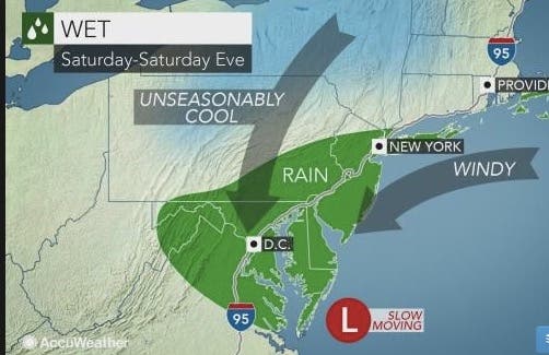
The National Weather Service says the storm was supposed to follow the protocol of a nor'easter: Move up from the South, stop in its tracks and churn, producing a flooding risk.
Find out what's happening in Morristownfor free with the latest updates from Patch.
Headed to the beach this weekend? A summer nor'easter could potentially ruin your plans as heavy rain is expected: https://t.co/6qUSz63rHk pic.twitter.com/Zda5gHpPAn
— The Weather Channel (@weatherchannel) July 27, 2017
The rare storm was supposed to be unusual since it will unleash steady rain for 6 to 10 hours or more in many locations as it moves across the region, according to AccuWeather. Typically in the summer, rainfall is limited to a few hours in the absence of a tropical rainstorm.
"This type of setup has the potential to deliver very heavy rainfall and raise the risk of flooding," AccuWeather Chief Meteorologist Elliot Abrams said in a release.
Find out what's happening in Morristownfor free with the latest updates from Patch.
Motorists from Pennsylvania, New Jersey, West Virginia, Maryland, Virginia and Delaware were supposed to face difficult travel due to persistent downpours, excess water on the road and poor visibility, according to AccuWeather.
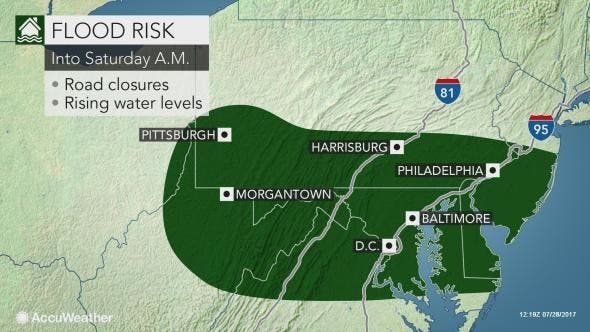
Enough rain could fall to cause flash and urban flooding. Small stream flooding is also possible as several inches of rain may fall on some locations, according to AccuWeather. This threat will be greatest from Philadelphia and Harrisburg, Pennsylvania, to Baltimore and Washington, D.C.
Temperatures are also expected to fall to fall-like levels.
A Summer time Nor'Easter is on the way and with it some very much Fall-like temperatures. Details on this storm are on the way! #NYNJPAWX pic.twitter.com/m5AhQo84dM
— NY NJ PA Weather (@nynjpaweather) July 27, 2017
South Jersey and eastern Pennsylvania are expected to get the worst of it.
A rare summer nor'easter looks poised to strike NJ this weekend. Here's the latest briefing from @NWS_MountHolly https://t.co/TBN0sY5GEp pic.twitter.com/wxT9981LSe
— Stephen Stirling (@SStirling) July 27, 2017
Here is the forecast:
- Friday: Partly sunny, with a high near 84. East wind 5 to 7 mph.
- Friday night: A chance of showers and thunderstorms, then showers and possibly a thunderstorm after 10pm. Some of the storms could produce gusty winds and heavy rain. Low around 67. Calm wind becoming northeast 5 to 7 mph after midnight. Chance of precipitation is 80%. New rainfall amounts between a half and three quarters of an inch possible.
- Saturday: Showers likely and possibly a thunderstorm. Some of the storms could produce heavy rain. Cloudy, with a high near 72. Northeast wind 9 to 16 mph. Chance of precipitation is 70%. New precipitation amounts between a half and three quarters of an inch possible.
- Saturday night: A chance of showers. Cloudy, with a low around 62. Northeast wind 14 to 16 mph. Chance of precipitation is 40%. New precipitation amounts between a tenth and quarter of an inch possible.
- Sunday: Partly sunny, with a high near 77. Northeast wind 11 to 14 mph.
Tom Davis photo
Get more local news delivered straight to your inbox. Sign up for free Patch newsletters and alerts.