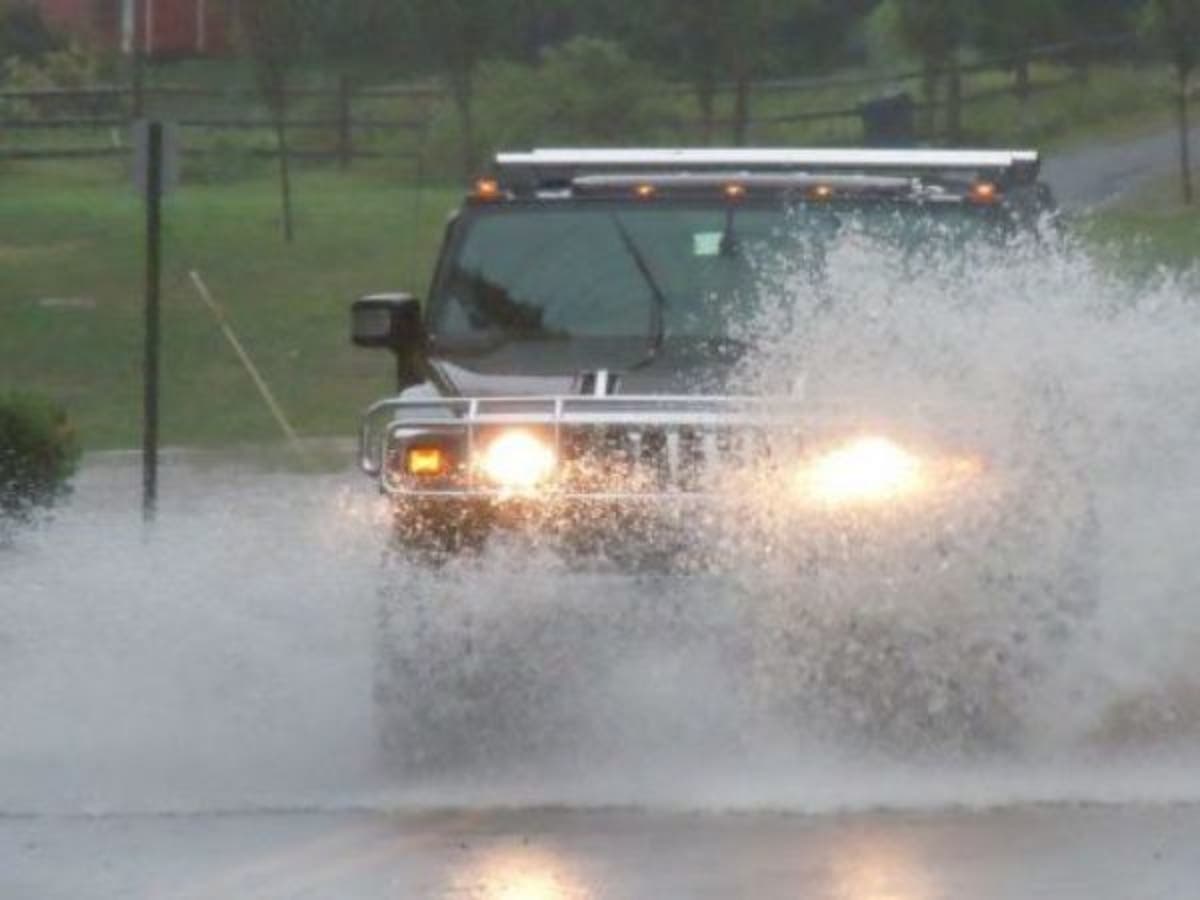
OCEAN CITY, NJ — The National Weather Service has issued a Flash Flood Watch for South Jersey, including Ocean City, through Saturday afternoon. Ocean City doesn't experience Flash Flooding due to its low elevation, but could experience street flooding if the heaviest rains occur at high tide, city officials said in a Special Weather Statement Friday afternoon.
The latest forecast calls for 2 to 4 inches of rain to fall between Friday and Saturday afternoons with higher amounts possible. High tide on the bay side of Ocean City (at the Ninth Street Bridge) will come at 1:12 a.m. Saturday.
Vehicles should be moved from areas that typically experience tidal flooding, including the corridor along Haven and Simpson avenues. The roads closer to the beach including Central and Wesley avenues are typically at higher elevation. These roads also offer the safest routes of travel across the length of the island.
Find out what's happening in Ocean Cityfor free with the latest updates from Patch.
Parking will be available at the Trinity United Methodist Church at 20 North Shore Road in Marmora (please read letter from Trinity for more on this service). For your safety and the protection of your vehicle and neighboring properties, never attempt to drive through flood waters, and do not drive around barricades.
City crews are out clearing storm drains in advance of the storm, but storm preparation can include making sure inlets near your home are clear of debris. The rain forecast remains variable, and conditions are expected to improve throughout the weekend.
Find out what's happening in Ocean Cityfor free with the latest updates from Patch.
Here's the forecast for Saturday and Sunday:
Saturday
Showers and possibly a thunderstorm. Some of the storms could produce heavy rain. High near 77. Breezy, with a northeast wind 14 to 22 mph. Chance of precipitation is 100%. New rainfall amounts between 1 and 2 inches possible.
Saturday Night
A chance of showers. Cloudy, with a low around 66. Breezy, with a northeast wind 21 to 24 mph. Chance of precipitation is 40%. New precipitation amounts between a half and three quarters of an inch possible.
Sunday
A slight chance of showers. Mostly cloudy, with a high near 77. Breezy, with a northeast wind around 22 mph. Chance of precipitation is 20%.
Sunday Night
A slight chance of showers. Mostly cloudy, with a low around 66. Breezy. Chance of precipitation is 20%.
“Each year, more deaths occur due to flooding than from any other thunderstorm related hazard,” Gloucester Township police said in a statement late Friday morning. “The Centers for Disease Control and Prevention report that over half of all flood-related drownings occur when a vehicle is driven into hazardous flood water. The next highest percentage of flood-related deaths is due to walking into or near flood waters. People underestimate the force and power of water. Many of the deaths occur in automobiles as they are swept downstream. Of these drownings, many are preventable, but too many people continue to drive around the barriers that warn you the road is flooded. A mere 6 inches of fast-moving flood water can knock over an adult. It takes just 12 inches of rushing water to carry away a small car, while 2 feet of rushing water can carry away most vehicles. It is never safe to drive or walk into flood waters.”
For police and fire department emergencies, call 911. For non-emergencies, call 609-399-9111.
Patch file photo
Get more local news delivered straight to your inbox. Sign up for free Patch newsletters and alerts.