Weather
Flash Flood Watch In Effect For Ocean City
Residents are invited to share their flooding photos with Ocean City Patch.


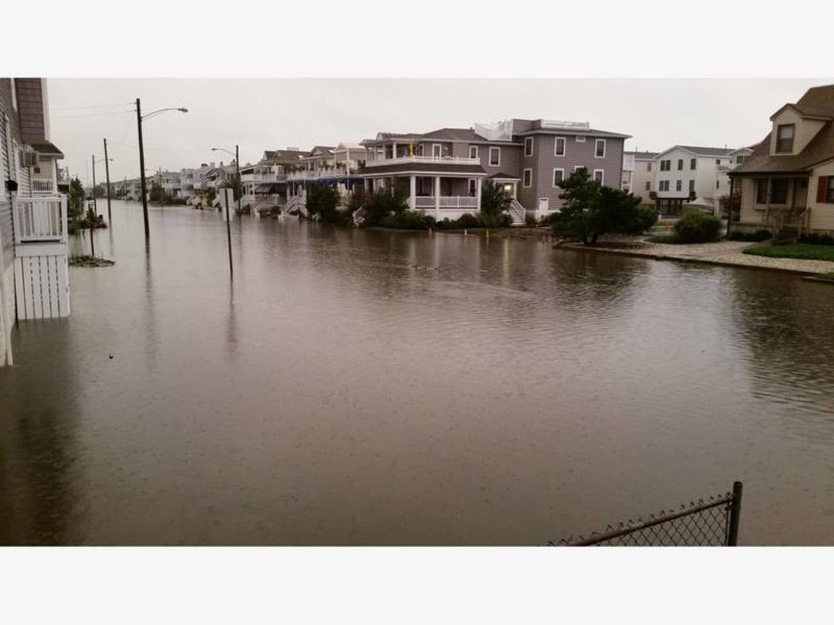
OCEAN CITY, NJ — A Flash Flood Watch is in effect for Ocean City from 2 p.m. on Thursday, Oct. 11, through 5 a.m. on Friday, Oct. 12, the National Weather Service announced. A Wind Advisory also will be in effect from 2 a.m. to 8 a.m. on Friday.
While flash flooding is a condition that typically occurs near rivers, Ocean City can experience similar conditions if heavy rain coincides with high tide, city officials said in a Special Weather Statement Thursday afternoon.
The latest forecast calls for 2 to 4 inches of rain from Thursday afternoon to Friday morning. Greater amounts are possible. High tides on the bay side of Ocean City (at the Ninth Street Bridge) will fall at 10:42 p.m. Thursday and 11:08 a.m. Friday.
Find out what's happening in Ocean Cityfor free with the latest updates from Patch.
Wind gusts as strong as 45 to 50 mph are predicted as the remnants of Hurricane Michael pass to the south of New Jersey overnight. Residents and guests are asked to closely monitor the forecast and weather conditions.
Residents should be prepared to move vehicles. Heavy rain flooding can impact parts of the island that don’t typically experience tidal flooding.
Find out what's happening in Ocean Cityfor free with the latest updates from Patch.
The roads closer to the beach including Central and Wesley avenues are at higher elevation. These roads also offer the safest routes of travel across the length of the island.
Residents should never attempt to drive through flood waters, and do not drive around barricades. For police and fire department emergencies, call 911. For non-emergencies, call 609-399-9111.
Anyone who has flooding photos from this storm is invited to share them with Ocean City Patch. You can send them to Anthony.Bellano@patch.com and we'll share them here.
Get more local news delivered straight to your inbox. Sign up for free Patch newsletters and alerts.