Weather
NJ Weather: Snow Expected For Friday Commute
UPDATE: A winter weather advisory has been issued for parts of New Jersey. The snow could lead to some early dismissals at schools.


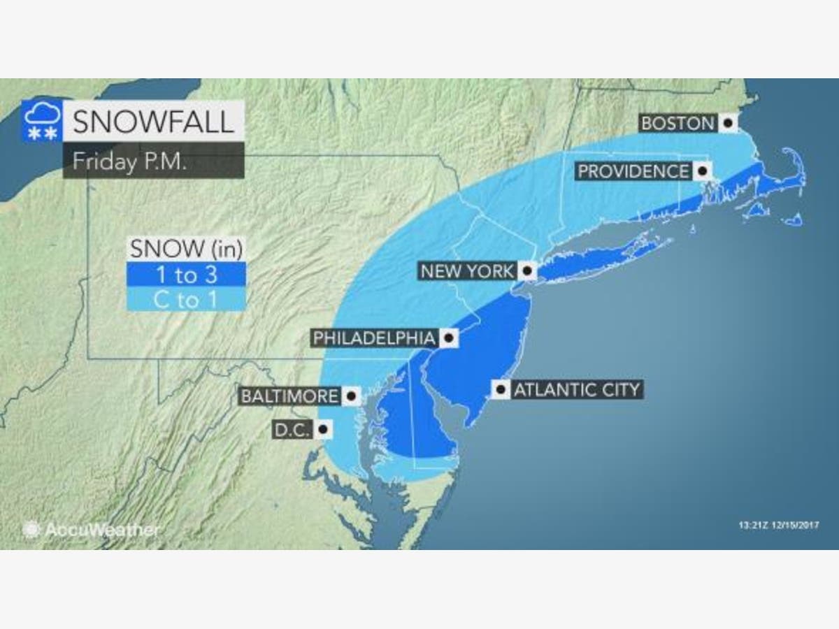

A winter weather advisory has been expanded for parts of New Jersey as most of the region is expected to get snow during the Friday commute.
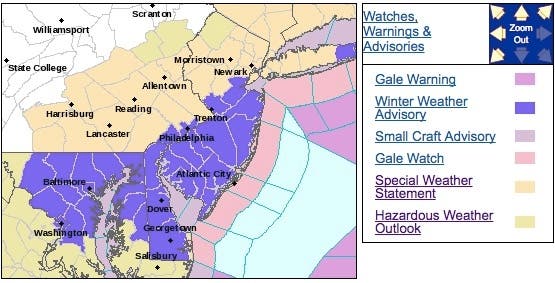
The advisory was issued for Central Jersey, South Jersey and the Jersey Shore, while the National Weather Service issued a hazardous weather outlook for the rest of the New Jersey. Monmouth, Mercer, Middlesex, Hudson, Ocean, Burlington, Atlantic, Cape May, Cumberland, Gloucester, Salem and Camden counties are now under the winter weather advisory.
The snow could prompt some districts to dismiss students early. Read more: New Jersey School Closings/Early Dismissals List - 12/15/17
Find out what's happening in Ocean Cityfor free with the latest updates from Patch.
Here are the alerted areas:
The National Weather Service warns drivers to plan on slippery road conditions during the evening commute. Total snow accumulations of 1 to 3 inches are expected.
Find out what's happening in Ocean Cityfor free with the latest updates from Patch.
The advisories are in effect beginning at 1 p.m. and lasting until 9 p.m. A winter weather advisory means periods of snow will cause primarily travel difficulties. Be prepared for snow covered roads and limited visibilities, and use caution while driving.
The flakes will be part of a coastal system that will quickly develop close enough to the coast for snow to develop early-midafternoon. While the initial flakes likely melt on treated surfaces, the prior cold and expected intensity of the snow will be enough for all surfaces to cover up, according to forecasters.
Snow will continue to fall at a light to moderate intensity through the afternoon rush, with the heaviest bands expected to remain south, and then eventually taper off early this evening.
During the evening, temperatures will be below freezing with a heightened threat of a freeze-up of wet surfaces. Due to the timing of this snowfall, caution is needed during the evening commute.
Roads may be slippery, especially on bridges, ramps and overpasses, and untreated roads, sidewalks and other surfaces. Melted snow may refreeze to create slippery conditions. Limited visibilities may occur during heavier snowfall.
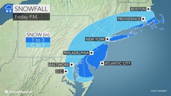
Here is the forecast:
- Friday: Snow, mainly after 2 p.m. High near 33. Calm wind becoming north 5 to 7 mph in the afternoon. Chance of precipitation is 80 percent. Total daytime snow accumulation of 1 to 3 inches possible.
- Friday night: Snow likely, mainly before 10 p.m. Cloudy during the early evening, then gradual clearing, with a low around 23. West wind 6 to 13 mph. Chance of precipitation is 60 percent. New snow accumulation of less than one inch possible.
- Saturday: Mostly sunny, with a high near 39. West wind 14 to 16 mph, with gusts as high as 26 mph.
- Saturday night: Partly cloudy, with a low around 25. North wind 6 to 9 mph.
- Sunday: Mostly sunny, with a high near 41. North wind around 5 mph becoming calm in the morning.
- Sunday night: A slight chance of rain before 1am, then a slight chance of rain and snow. Mostly cloudy, with a low around 32. Chance of precipitation is 20 percent.
Heaviest still looks to be in the 3-6pm across the area. Ending time is early this evening before 9pm as of now pic.twitter.com/0G4YlgjFo7
— PhillyWx.com (@phillywx) December 15, 2017
NJ Turnpike photo
Get more local news delivered straight to your inbox. Sign up for free Patch newsletters and alerts.