Weather
Winter Weather Advisory In 8 NJ Counties
Here's how much snow could fall, and if schools will be impacted.


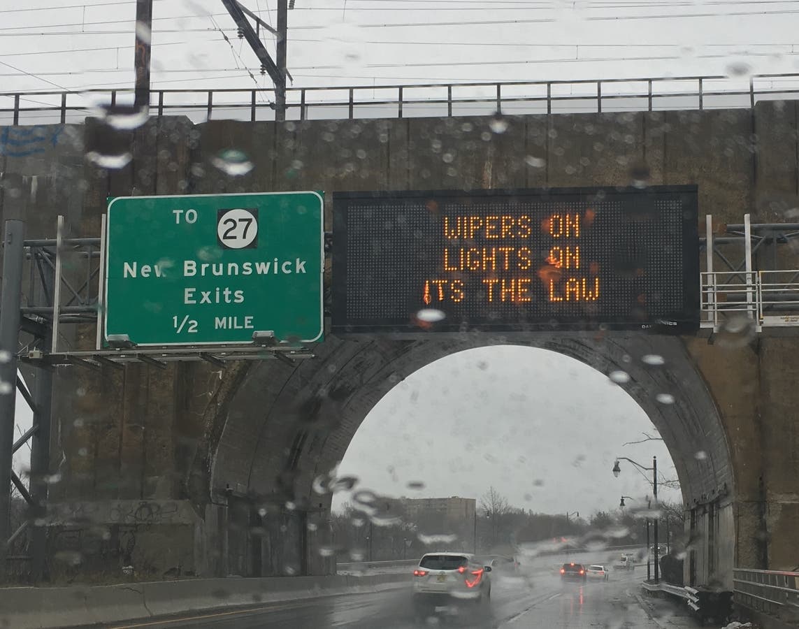
A winter weather advisory was issued in six New Jersey counties as some areas could get 6 inches of snow on Tuesday and Wednesday.
And the worst thing about it could be what happens after: A deep, 17-degree freeze that could turn even an inch of two of snow or rain on Tuesday into a "skating rink" on Wednesday, forecasters say.
A snow accumulation of 3 to 6 inches is in the forecast in six New Jersey counties where the advisory was issued. These counties are impacted: Sussex, Morris, Somerset, Mercer, Warren, Hunterdon and parts of Bergen and Passaic.
Find out what's happening in Ocean Cityfor free with the latest updates from Patch.
The advisory will be in effect from 4 a.m. Tuesday until Wednesday at midnight. Schools could be impacted by the rough weather on Wednesday morning. Read more: New Jersey School Closings/Delays List For Wednesday.
Find out what's happening in Ocean Cityfor free with the latest updates from Patch.
Moderate snowfall rates are possible, the National Weather Service says. It may mix with some rain in the afternoon. The snow is forecast to come to an end on Tuesday evening, but be prepared for slippery roads and walkways. The hazardous conditions could impact both the morning and evening commutes.
Here are the alerted areas:
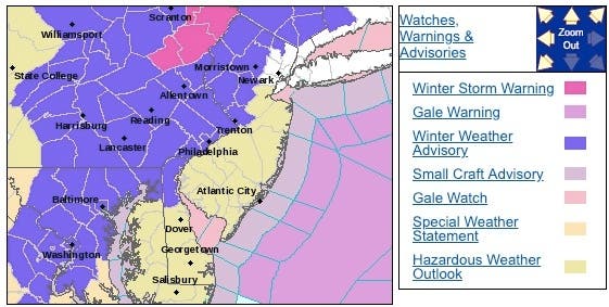
Elsewhere, the National Weather Service has issued a hazardous weather outlook, saying rain is expected to change to snow Tuesday into Tuesday night throughout the state. Hazardous travel conditions are possible during and after this changeover as roads may become very icy.
Then, periods of strong, gusty winds and scattered snow squalls are possible Wednesday afternoon as an arctic cold front moves through. Very cold temperatures and wind chills are expected Wednesday night and Thursday, according to the NWS.
Here's how much is expected to fall:
-1548707888-554.jpg)
-1548707900-7796.jpg)
Here is the worst-case scenario:
-1548707926-2408.jpg)
-1548707936-2573.jpg)
The same storm system will bring heavy snow and travel disruptions to the Midwest into Monday before it weakens as it tracks toward the eastern Great Lakes and the mid-Atlantic states, according to AccuWeather.
In the I-95 cities and states from Boston to New Jersey, New York City, Philadelphia and Washington, D.C., a brief spike in temperatures is expected to cause precipitation to start as rain before a changeover to snow later Tuesday afternoon into Tuesday night, according to AccuWeather.
Then, if the cold air catches up to the back edge of the rain quickly, a couple inches of snow can turn areas in New Jersey into "a skating rink" by Wednesday morning, according to AccuWeather. Residents may only have a short window to clear any slush as the harshest Arctic outbreak this winter freezes everything solid by Wednesday morning.
Even if only a small amount of snow falls, pedestrians will have to use extra caution in parking lots and on sidewalks as any snow, slush or wet spots quickly turn to ice Wednesday morning, according to AccuWeather. Motorists traveling through the storm will likely face major delays and may need to allot several extra hours to reach their travel destinations.
Lengthy airport delays may not only be felt immediately in many of the major cities of the I-95 corridor, but also throughout a large portion of the country, according to AccuWeather.
-1548679798-2083.jpg)
Here is the forecast:
- Monday night: Increasing clouds, with a low around 23. Light east wind.
- Tuesday: A chance of rain and snow before 1pm, then rain likely between 1pm and 5pm, then rain and snow likely after 5pm. Cloudy, with a high near 40. Southeast wind 3 to 8 mph. Chance of precipitation is 70%. New snow accumulation of less than a half inch possible.
- Tuesday night: Rain and snow likely before 7pm, then snow. Low around 22. South wind 5 to 11 mph becoming northwest after midnight. Chance of precipitation is 80%. New snow accumulation of 1 to 3 inches possible.
- Wednesday: A chance of snow showers. Mostly sunny, with a high near 25. West wind 9 to 17 mph, with gusts as high as 28 mph. Chance of precipitation is 30%. New snow accumulation of less than a half inch possible.
Tom Davis photo
Get more local news delivered straight to your inbox. Sign up for free Patch newsletters and alerts.