Weather
Messy Forecast Starts Holiday Weekend In NJ
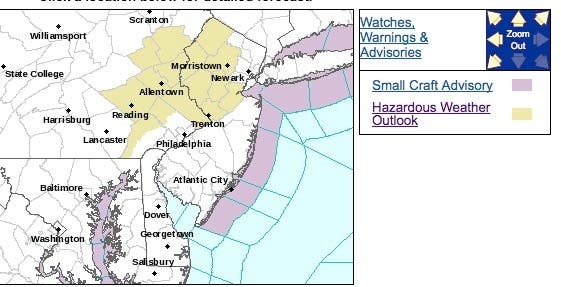
A hazardous weather outlook has been issued for a number of New Jersey counties, and the possibility of a white Christmas has increased.

Looks like the warm-weather that was supposed to make the holiday week spring-like won't happen after all. And the chances of a white Christmas have increased.
A hazardous weather outlook has been issued for a number of New Jersey counties since a period of light snow or freezing rain is possible late Thursday night into Friday. That alert has been issued for mostly North Jersey.
The entire state, however, is expected to get rain by Friday night.
Find out what's happening in Point Pleasantfor free with the latest updates from Patch.
And, to make matters more interesting, a coastal system has the potential to bring a period of snow to New Jersey on Sunday and into Monday, according to the National Weather Service. There is still a lot of uncertainty about the path of that storm.
Indeed, three storms will be on the prowl and may affect holiday travel in the central and eastern United States over the extended Christmas weekend, according to AccuWeather. More than 107.3 million people will take to planes, trains, aircraft and buses during the period from Saturday, Dec. 23, through Monday, Jan 1, according to the American Automobile Association (AAA).
Find out what's happening in Point Pleasantfor free with the latest updates from Patch.
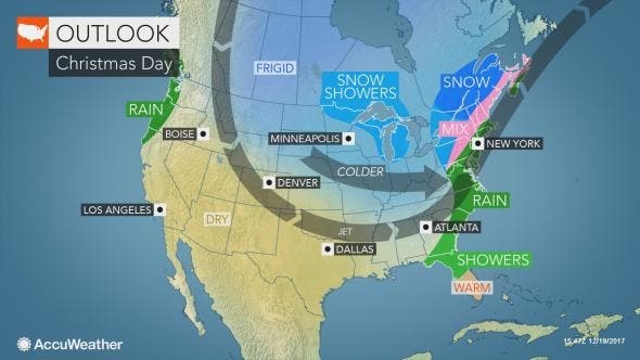
While no intense storms are forecast, there will be areas of rain, ice and snow affecting heavily populated areas and popular travel routes up through Christmas Day, according to AccuWeather.
At this time, the most likely form of precipitation will be rain from Philadelphia to New York City. However, just enough cold air may be around in the swath from Washington, D.C., to near Boston for any form of precipitation, including snow, to occur, according to AccuWeather.
Here is the weather forecast:
- Wednesday: Mostly cloudy, with a high near 44. Northwest wind 8 to 14 mph, with gusts as high as 24 mph.
- Wednesday night: Partly cloudy, with a low around 25. Northwest wind 5 to 7 mph.
- Thursday: Mostly sunny, with a high near 38. North wind around 6 mph becoming calm in the afternoon.
- Thursday night: Mostly cloudy, with a low around 27. Calm wind.
- Friday: A slight chance of freezing rain before 8am in northern and central Jersey, then a slight chance of rain. Mostly cloudy, with a high near 45. Calm wind becoming south around 5 mph in the afternoon. Chance of precipitation is 20%.
- Friday night: Rain likely, mainly after 1am. Cloudy, with a low around 42. Chance of precipitation is 60%. New precipitation amounts between a tenth and quarter of an inch possible.
- Saturday: Rain likely. Cloudy, with a high near 56. Breezy. Chance of precipitation is 60%.
- Saturday night: A chance of rain. Mostly cloudy, with a low around 40. Chance of precipitation is 50%.
- Sunday: A chance of rain. Partly sunny, with a high near 46. Chance of precipitation is 40%.
- Sunday night: A chance of rain. Mostly cloudy, with a low around 34. Chance of precipitation is 50%.
- Christmas Day: A chance of rain. Mostly sunny, with a high near 42. Chance of precipitation is 40%.
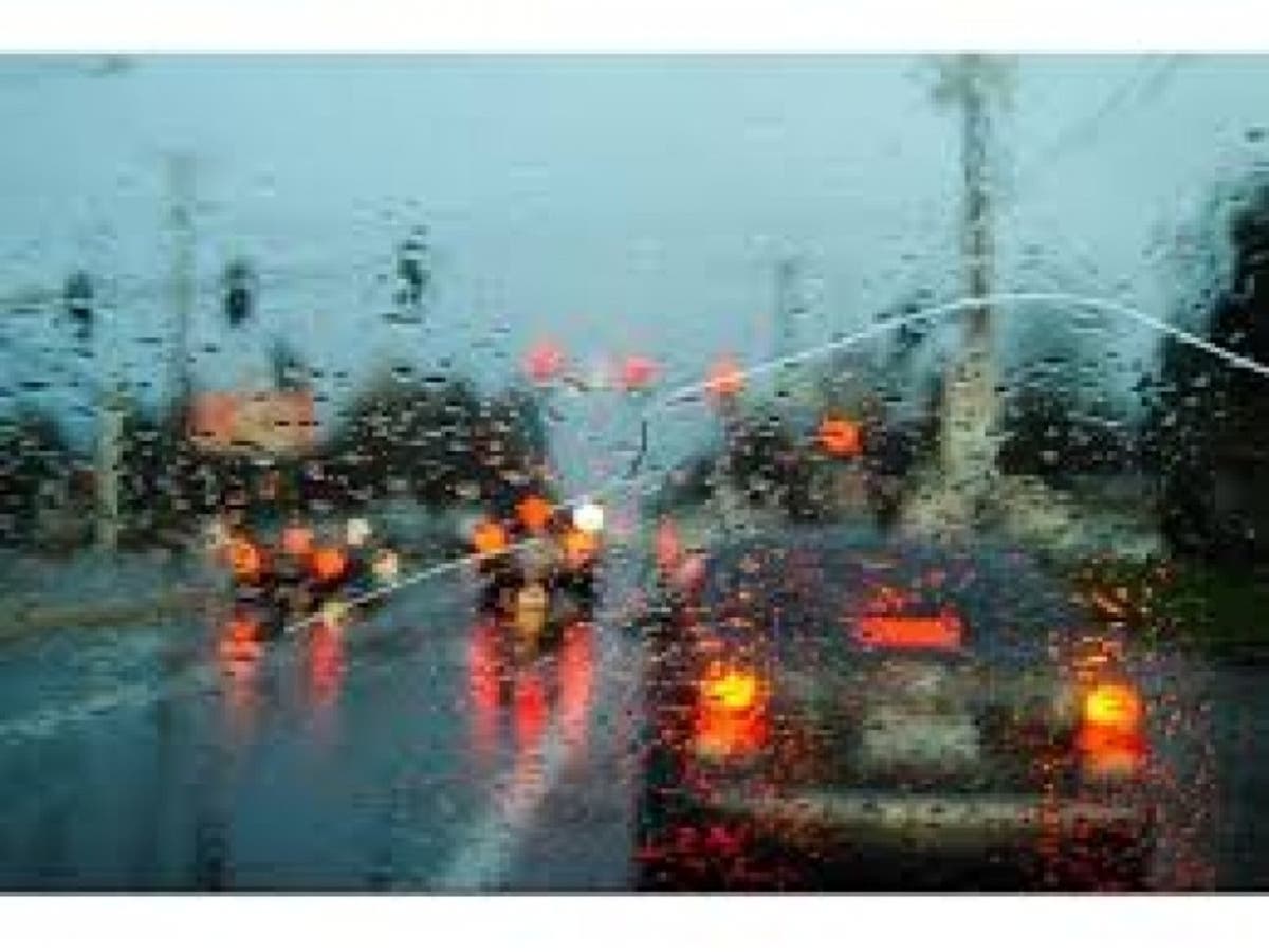
Patch photo
Get more local news delivered straight to your inbox. Sign up for free Patch newsletters and alerts.


