Weather
Hazardous Weather Outlook Issued For N.J. As Bad Storms Expected
Things could get a bit windy and stormy on Saturday and Sunday.

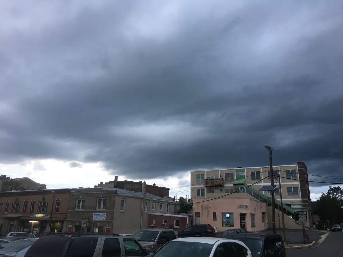
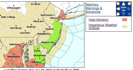
A hazardous weather outlook has been issued for New Jersey on Saturday as forecasters expect thunderstorms producing damaging wind and poor-drainage flooding to hit the region.
There is also a risk for a period of severe thunderstorms on Sunday and possibly again Monday, along with heavy rain and possible localized flooding, according to the National Weather Service.
The pattern for severe thunderstorm activity and heavy rainfall the past few days will energize and increase the risk to lives and property across the northeastern United States this weekend, according to AccuWeather.
Find out what's happening in Point Pleasantfor free with the latest updates from Patch.
Motorists and those spending time outdoors should be on the lookout for rapidly changing weather conditions, according to AccuWeather. Airline passengers are likely to face delays as storms approach their departure, arrival or connection hubs.
A couple of storm systems will roll eastward from the Midwest to the New Jersey and Pennsylvania region this weekend, according to AccuWeather. These storms will tap the high level of moisture in the region as well as a north-south temperature contrast.
Find out what's happening in Point Pleasantfor free with the latest updates from Patch.

- Today: A chance of showers and thunderstorms, mainly after 4pm. Some of the storms could be severe. Partly sunny, with a high near 91. Light and variable wind becoming south around 6 mph in the afternoon. Chance of precipitation is 30%. New rainfall amounts of less than a tenth of an inch, except higher amounts possible in thunderstorms.
- Tonight: Showers and thunderstorms likely, mainly between 8pm and 11pm. Some storms could be severe, with damaging winds and heavy rain. Mostly cloudy, with a low around 72. South wind 5 to 7 mph becoming west after midnight. Chance of precipitation is 70%. New rainfall amounts between a half and three quarters of an inch possible.
- Sunday: A chance of showers and thunderstorms, mainly after 8am. Mostly cloudy, with a high near 86. North wind around 6 mph becoming calm in the afternoon. Chance of precipitation is 50%. New rainfall amounts between a tenth and quarter of an inch, except higher amounts possible in thunderstorms.
- Sunday Night: Showers and thunderstorms likely, mainly before midnight. Mostly cloudy, with a low around 69. Light east wind. Chance of precipitation is 60%. New rainfall amounts between a quarter and half of an inch possible.
- Monday: A chance of showers and thunderstorms. Partly sunny, with a high near 88. Calm wind becoming northwest around 6 mph in the afternoon. Chance of precipitation is 40%. New rainfall amounts of less than a tenth of an inch, except higher amounts possible in thunderstorms.
- Monday Night: A chance of showers and thunderstorms before midnight, then a slight chance of showers. Partly cloudy, with a low around 68. Chance of precipitation is 30%. New precipitation amounts of less than a tenth of an inch, except higher amounts possible in thunderstorms.
Get more local news delivered straight to your inbox. Sign up for free Patch newsletters and alerts.


