Weather
NJ Weather Update: Latest Forecast Changes For Super Bowl Storm
Forecasters have made changes to their snowfall and storm predictions for this weekend.

A messy storm has been predicted for Super Bowl night – one that could make you reconsider driving to somebody else's house to watch a game you can see at home. And even eat your own potato chips.
It appears that forecasters, however, have tailed back those New Jersey predictions a bit. The National Weather Service, which had initially issued a hazardous weather outlook for the entire state, says snow is still possible – just not as bad as originally thought.
The weather still could prompt some schools to close and delayed openings. Read more: New Jersey School Closings/Delays List - 2/5/18
Find out what's happening in Point Pleasantfor free with the latest updates from Patch.
Here is what is expected:
- Rain, possible ice and some snow, however, could present the biggest problems for people driving to a Super Bowl party before the game starts sometime around 6 p.m. Driving back home also won't be so easy, either, forecasters say.
- A period of accumulating snow is more likely Sunday through Sunday evening in Hunterdon and Warren counties, and maybe even Morris, Passaic, Bergen and Hunterdon counties. Freezing rain or sleet may mix in for a brief period, and snow amounts of up to 4 inches are possible. Hazardous travel conditions due to the snow and slippery conditions is possible.
Here is what expected on Sunday morning, Sunday night and Monday morning: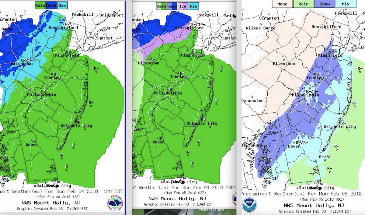
Find out what's happening in Point Pleasantfor free with the latest updates from Patch.
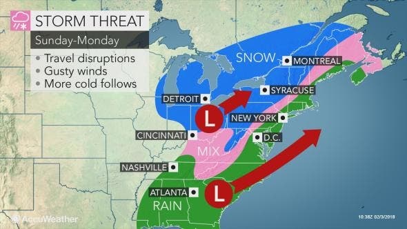
AccuWeather is still calling it a "fast-moving storm" that could bring drenching rain and accumulating snow. Even where rain and sleet mix in, motorists should anticipate slippery travel and allow extra time to get to their destination, whether that is across town or across the state. Airline delays due to deicing activity and slippery runways are likely.
Here is the forecast:
- Saturday: Mostly sunny, with a high near 31. Southwest wind 8 to 10 mph.
- Saturday night: Increasing clouds, with a low around 26. South wind around 8 mph.
- Sunday: Rain or snow, mainly after 1pm. High near 45. South wind 9 to 13 mph. Chance of precipitation is 90%. New precipitation amounts between a tenth and quarter of an inch possible.
- Sunday night-Monday morning: Rain in most areas before 3am, then a slight chance of rain, snow, and sleet between 3am and 4am, then a slight chance of snow after 4am. Low around 28. South wind 6 to 13 mph becoming west after midnight. Chance of precipitation is 90%. Little or no snow and sleet accumulation expected.
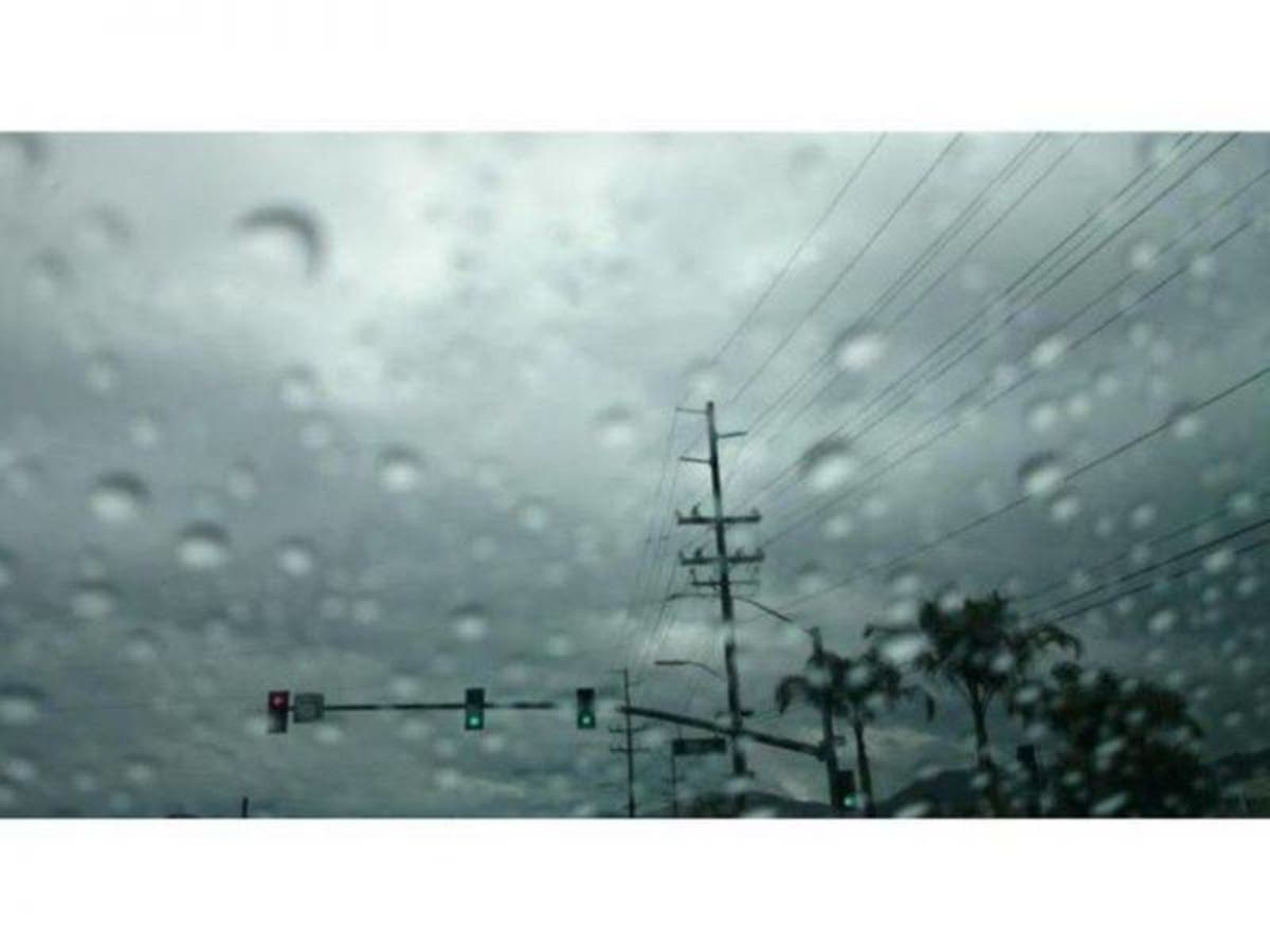
Tom Davis photo
Get more local news delivered straight to your inbox. Sign up for free Patch newsletters and alerts.


