Weather
Strong Coastal Storm, 50-MPH Winds Expected To Impact New Jersey
UPDATE: A powerful storm, technically a Nor'easter, is expected to impact New Jersey. Here's where and how.


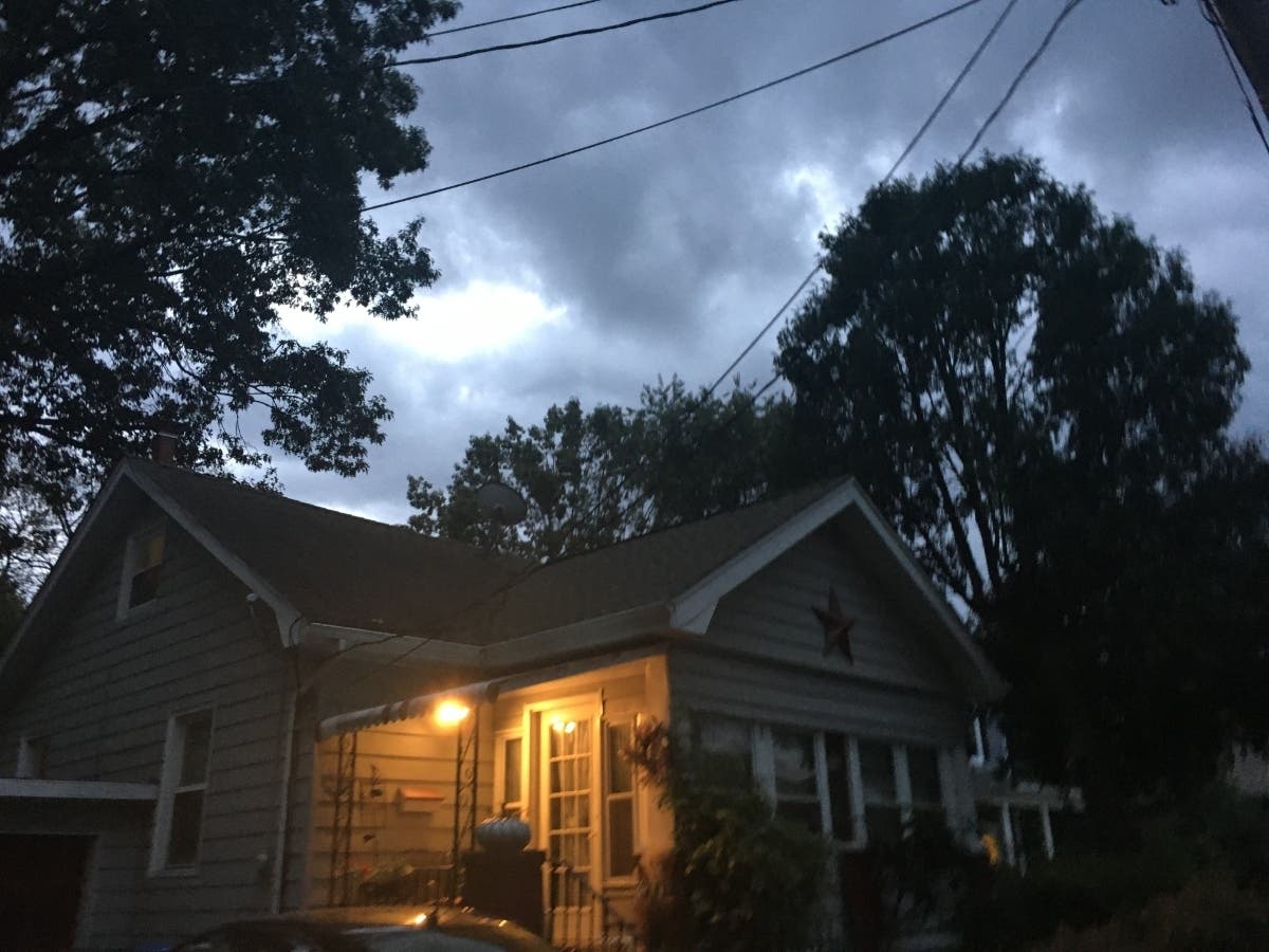


NEW JERSEY – New Jersey will be impacted by the first strong coastal storm of the season over the next three days, bringing 20- to 50-mph winds, rain and possible flooding.
The National Weather Service said the storm is technically a Nor'easter, which can bring heavy rain, winds and flooding as it churns through the region.
But in New Jersey, the impact will feel more like a strong coastal storm and won't have the same powerful impact that New England is supposed to get.
Find out what's happening in Point Pleasantfor free with the latest updates from Patch.
Still, expect some impact — and it could get worse. Some places from eastern Pennsylvania to New Jersey and southeastern New York could receive as much as 2 or 3 inches of rain by week's end, according to AccuWeather.

Find out what's happening in Point Pleasantfor free with the latest updates from Patch.
The National Weather Service has issued a hazardous weather outlook and coastal flood advisories that are in effect until 4 p.m. Friday, saying flooded roads and strong winds could be a consistent problem for residents, especially at the Jersey Shore.
Beach hazard and rip current warnings were also issued throughout the Jersey Shore, so stay out of the water — even if you have a boat.
Rain was already falling in parts of New Jersey, but it was expected to get worse by noon Wednesday, and the wet weather and high winds could be strong through Thursday and Friday. Much of the state will get 20-mph winds, but the Shore will get up to 40 mph, the weather service says.

Weather systems will converge and stall over Atlantic waters near the Northeast this week, which will pave the way for rain and problems related to rough seas, gusty winds and coastal flooding in some areas, according to AccuWeather.
A cold front that moved through the northeastern United States will stall off the Eastern Seaboard and spawn a strengthening storm system that will force rain and wind back over land, according to AccuWeather.
There is some chance that this storm develops tropical or subtropical characteristics, and AccuWeather meteorologists say they will be monitoring the system to see if it becomes the next named tropical entity later this week.

Here is the forecast:
- Wednesday: Showers likely, mainly before 1 p.m. Cloudy, with a high near 60. Northeast wind around 15 mph, with gusts as high as 30 mph. Chance of precipitation is 60 percent. New precipitation amounts of less than a tenth of an inch possible.
- Wednesday night: A chance of showers, mainly before 9 p.m. Mostly cloudy, with a low around 48. North wind around 14 mph, with gusts as high as 26 mph. Chance of precipitation is 30 percent. New precipitation amounts of less than a tenth of an inch possible.
- Thursday: A chance of rain. Mostly cloudy, with a high near 62. Breezy, with a north wind 15 to 21 mph, with gusts as high as 37 mph. Chance of precipitation is 50 percent. New precipitation amounts of less than a tenth of an inch possible.
- Thursday night: A chance of rain. Cloudy, with a low around 51. Breezy, with a north wind 17 to 20 mph, with gusts as high as 37 mph. Chance of precipitation is 50 percent. New precipitation amounts of less than a tenth of an inch possible.
- Friday: A chance of rain. Mostly cloudy, with a high near 62. North wind around 18 mph, with gusts as high as 34 mph. Chance of precipitation is 40 percent. New precipitation amounts of less than a tenth of an inch possible.
- Friday night: A slight chance of rain. Mostly cloudy, with a low around 52. Chance of precipitation is 20 percent.
Get more local news delivered straight to your inbox. Sign up for free Patch newsletters and alerts.