Community Corner
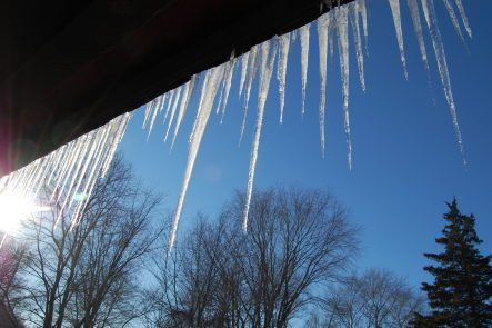
18-Below Wind Chills Possible This Weekend
The National Weather Service has issued a Wind Chill Advisory on Saturday night through Sunday morning.

A ”major outbreak” of arctic air is on the way this weekend, bringing bitterly cold temperatures and dangerous wind chills, the National Weather Service has warned in a Special Weather Statement.
The NWS has issued a Wind Chill Advisory for New Jersey that begins Saturday evening and goes through Sunday morning.
During that time, wind chills “could reach life threatening levels” — as cold as 18 below, the NWS said.
Find out what's happening in Red Bank-Shrewsburyfor free with the latest updates from Patch.
Temperatures on Saturday night and early Sunday will be in the single digits. Even daytime highs on Saturday and Sunday will not exceed the teens.
“Cold spells of this magnitude bring a risk of frostbite and hypothermia for anyone who does not take proper precautions,” the NWS said.
Find out what's happening in Red Bank-Shrewsburyfor free with the latest updates from Patch.
Frozen pipes are also a risk. Click here for tips on how to avoid frozen pipes.
Here are some tips from the NWS:
- Do not go outside without gloves, a hat and several layers of clothing. Wind chill values in this type of weather could result in frostbite in less than 30 minutes.
- Check on your elderly neighbors to be sure they are okay.
- Run water at a trickle and keep cabinet doors open to prevent pipes from freezing.
- Never use a stove or oven to heat your home.
- Check tire pressure and your car battery. Be sure your car has a winter safety kit that includes a blanket and warm clothes.
- Do not leave pets outside.
Here is the forecast:
Tonight: Isolated snow showers after 7pm. Cloudy, with a low around 18. West wind 9 to 17 mph, with gusts as high as 31 mph. Chance of precipitation is 20%.
Saturday: A chance of flurries with a slight chance of snow showers before 7am, then a chance of flurries between 7am and 9am. Partly sunny, with a high near 18. Wind chill values as low as -8. Windy, with a northwest wind 23 to 31 mph, with gusts as high as 48 mph.
Saturday Night: Partly cloudy, with a low around 2. Wind chill values as low as -16. Windy, with a northwest wind 22 to 26 mph, with gusts as high as 46 mph.
Sunday: Sunny, with a high near 17. Wind chill values as low as -17. Blustery, with a northwest wind 13 to 20 mph, with gusts as high as 32 mph.
Sunday Night: Partly cloudy, with a low around 11. West wind 5 to 10 mph.
Monday: A slight chance of snow before 1pm, then rain and snow likely between 1pm and 2pm, then rain likely after 2pm. Mostly cloudy, with a high near 37. Chance of precipitation is 60%. New precipitation amounts of less than a tenth of an inch possible.
Monday Night: Rain likely. Cloudy, with a low around 35. Chance of precipitation is 70%.
Tuesday: Rain. High near 50. Breezy. Chance of precipitation is 80%.
Get more local news delivered straight to your inbox. Sign up for free Patch newsletters and alerts.