“Faith is knowledge within the heart, beyond the reach of proof,"--Kahlil Gibran.
The Six Mile Run District is listed on the National Register of Historic Places. This district is bounded by Grouser Road, Amwell Road, Bennetts Lane and Route 27.
This area includes the Meadows Foundation properties Van Liew-Suydam House, Hageman Farm and Wycoff-Garretson House, all located on South Middlebush Road.
Find out what's happening in South Brunswickfor free with the latest updates from Patch.
The Six Mile Run was an incorporated area within portions of North Brunswick, South Brunswick and Franklin Township, as the village was known as Six Mile Run until 1872, when the name was changed to Franklin Park.
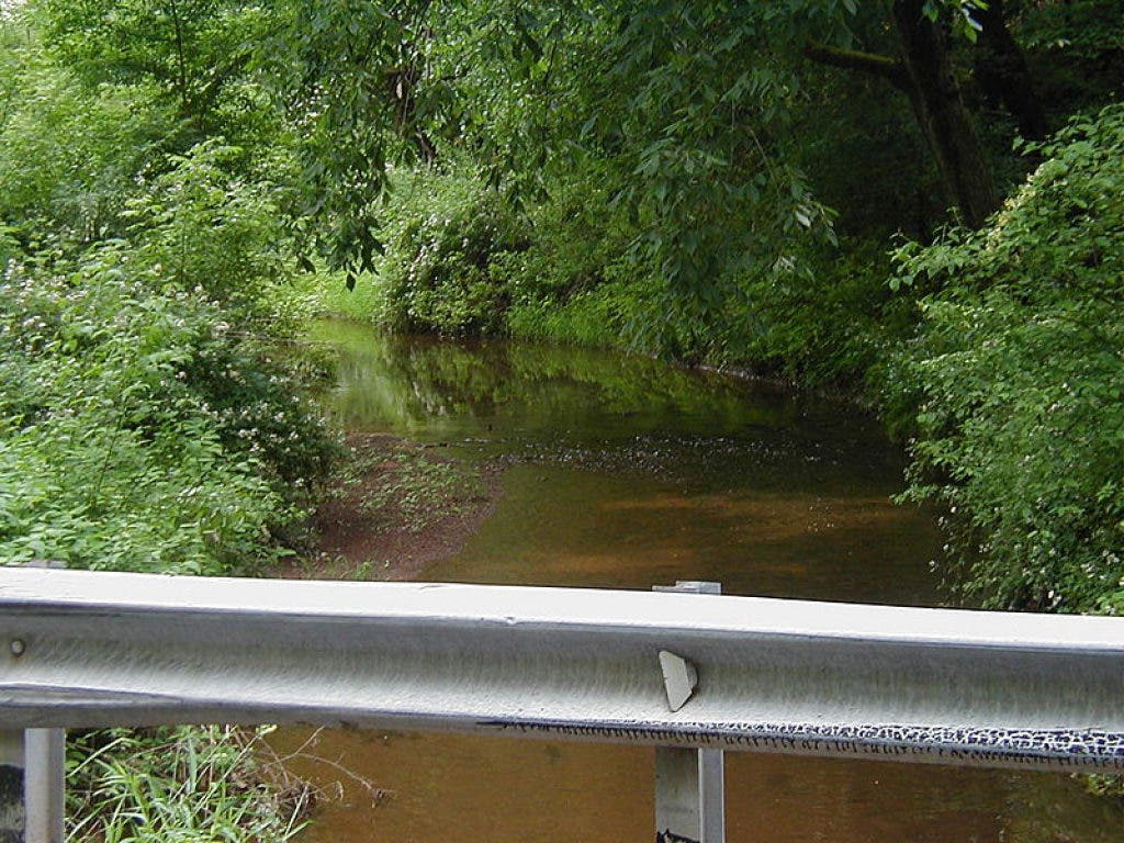
The Mile Run, run meaning stream, starts in New Brunswick, off of the Raritan River, and travels down to Kingston and on through to Trenton.
Find out what's happening in South Brunswickfor free with the latest updates from Patch.
The Six Mile Run denotes the six-mile area in which the stream runs. At one time, the Three and Twelve Mile Runs were also well known, but over time the waterway has become less renowned.
Originally, the Six Mile Run Reservoir was supposed to be created in the area, but the recreation site was never built. The Six Mile Run was also home to the Six Mile Run Reformed Church, a congregation formed by the local Dutch population.
The Six Mile Run Reformed Church was formed in 1703 and has endured three rebuilt churches.