Weather
Hazardous Weather Outlook, Thunderstorms In NJ (UPDATE)
UPDATE: Here's when NJ is supposed to get stormy weather – and what could happen – during the July 4th weekend on Saturday through Sunday.


July 4th was great, but the outlook isn't so rosey for New Jersey on July 4th weekend.
The National Weather Service has issued a hazardous weather outlook throughout New Jersey, saying thunderstorms on Saturday may produce locally heavy rainfall. More storms could happen on Saturday and Sunday (see forecast below).
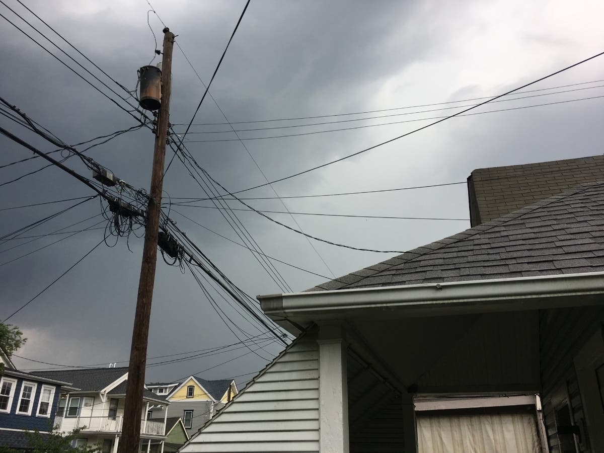
Some of the rain was already happening in parts of the state on Friday.
Find out what's happening in Toms Riverfor free with the latest updates from Patch.
Here in Lake Pine, Medford/NJ having a tropical downpour at 3:45 PM. Have a safe holiday weekend out there #NJwx pic.twitter.com/sTatFljaXY
— marc carpenter (@mcadehaven) July 5, 2019
The forecast could delay any kind of Indpendence Day fireworks, parade or celebration this weekend. Read more: NJ Fireworks 2019: See Local Fireworks On July 4th Weekend
A surge of moisture and a slight southward dip in the jet stream will trigger a daily eruption of showers and thunderstorms, according to AccuWeather. Some areas could be hit with multiple downpours per day.
Find out what's happening in Toms Riverfor free with the latest updates from Patch.
On Friday the northeastward surge of showers and thunderstorms began in earnest, according to AccuWeather.
"There is going to be a lot of water pent up in the atmosphere into at least Saturday which can be released in the form of torrential downpours," AccuWeather Senior Meteorologist Brett Anderson said in an AccuWeather release.
On Saturday and Sunday, downpours are likely to persist from southern Ohio, southern Pennsylvania and much of New Jersey on south, according to AccuWeather.
.jpeg)
Here is the forecast:
- Saturday: A chance of showers, then showers and thunderstorms likely after 11am. Mostly cloudy, with a high near 87. Southwest wind 5 to 7 mph. Chance of precipitation is 70%. New rainfall amounts between a tenth and quarter of an inch, except higher amounts possible in thunderstorms.
- Saturday night: Showers and thunderstorms likely before 2am, then a slight chance of showers. Mostly cloudy, with a low around 73. West wind around 5 mph. Chance of precipitation is 60%. New rainfall amounts between a tenth and quarter of an inch, except higher amounts possible in thunderstorms.
- Sunday: A slight chance of showers, then scattered showers and thunderstorms after 8am. Mostly cloudy, with a high near 86. Northeast wind around 5 mph. Chance of precipitation is 50%. New rainfall amounts of less than a tenth of an inch, except higher amounts possible in thunderstorms.
- Sunday night: A chance of showers and thunderstorms. Mostly cloudy, with a low around 68. Chance of precipitation is 30%. New precipitation amounts of less than a tenth of an inch, except higher amounts possible in thunderstorms.
Get more local news delivered straight to your inbox. Sign up for free Patch newsletters and alerts.


