Weather
First Chance Of Snow Sneaks Into New Jersey Forecast
The high hit 60 degrees Monday in New Jersey, but a big change is on the way, including the potential for the first snowflakes.

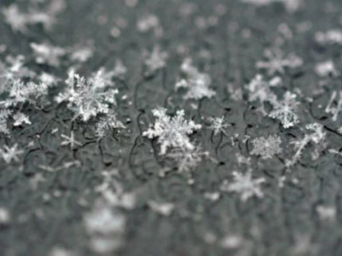
The first arctic blast of the season will impact New Jersey this week, and you may see something you haven't seen for a while: snowflakes.
Some snow could fall in southern Pennsylvania and New Jersey, but it's not expected to accumulate as temperatures in the region hit their lowest points since spring. Temperatures are expected to dip into the 20s this week, according to the National Weather Service.
Whatever snow will fall isn't expected to come until Tuesday night, and it will only impact the most northern areas of New Jersey.
Find out what's happening in Toms Riverfor free with the latest updates from Patch.
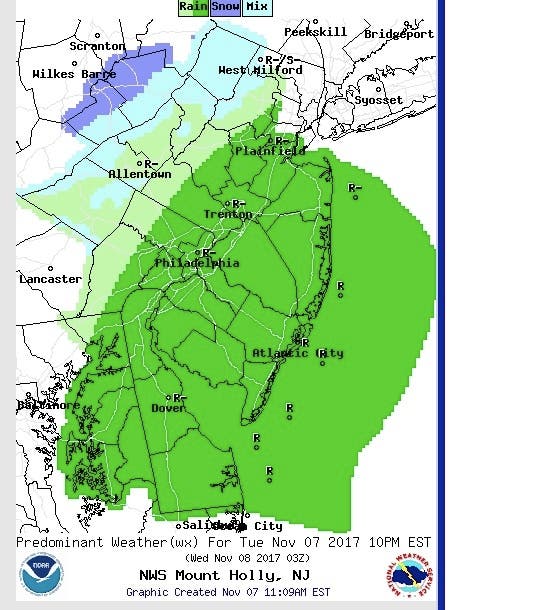
Parts of New Jersey also could get ice over the weekend, early Sunday.

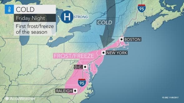
While the batch of arctic air will only last a couple of days at most locations, it will bring the lowest temperatures of the season so far to New Jersey, according to an AccuWeather release.
Find out what's happening in Toms Riverfor free with the latest updates from Patch.
"A hard freeze with a breeze is likely from Omaha, Nebraska, and Kansas City, Missouri, to Chicago; Detroit; Cincinnati; Cleveland; Pittsburgh; Albany, New York; Hartford, Connecticut; Providence, Rhode Island; Boston; and Portland, Maine," AccuWeather Senior Meteorologist Brett Anderson according to the release.
"Temperatures are also likely to dip to near or below freezing in the urban areas of Washington, D.C.; Richmond, Virginia; Baltimore; Philadelphia and New York City from late Friday night to Saturday morning," Anderson said.
Temperatures are forecast to moderate from west to east as this weekend progresses. However, clouds and mixed rain, sleet and wet snow may develop ahead of a return to milder conditions, according to AccuWeather.
Here is the forecast:
- Tuesday afternoon: Rain likely, mainly after 4pm. Cloudy, with a high near 44. North wind around 8 mph. Chance of precipitation is 60 percent. New precipitation amounts of less than a tenth of an inch possible.
- Tuesday nnight: Rain and snow likely, mainly before midnight. Mostly cloudy, with a low around 33. North wind around 8 mph. Chance of precipitation is 70 percent. Little or no snow accumulation expected.
- Wednesday: Partly sunny, with a high near 47. North wind 6 to 8 mph.
- Wednesday night: Partly cloudy, with a low around 33. Light north wind.
- Thursday: A slight chance of showers after 1pm. Partly sunny, with a high near 48. Calm wind becoming southwest 5 to 8 mph in the morning. Chance of precipitation is 20%.
- Thursday night: A slight chance of showers before midnight. Partly cloudy, with a low around 31. Chance of precipitation is 20%.
- Friday: Sunny, with a high near 35.
- Friday night: Mostly clear, with a low around 19.
- Veterans Day: Sunny, with a high near 39.
- Saturday night: Mostly cloudy, with a low around 27.
- Sunday: A chance of rain. Mostly cloudy, with a high near 45. Chance of precipitation is 30%.
- Sunday night: A chance of rain. Mostly cloudy, with a low around 35. Chance of precipitation is 30%.
- Monday: A chance of rain. Partly sunny, with a high near 47. Chance of precipitation is 30%.
Patch file photo
Get more local news delivered straight to your inbox. Sign up for free Patch newsletters and alerts.


