Weather
Tropical Storm Hermine Expected To Become Hurricane, Could Impact N.J., Forecasters Say
UPDATE: Tropical Storm Hermine is expected to turn into a hurricane, and the storm could impact N.J., according to forecasters.

Tropical Storm Hermine is now expected to become a hurricane and may impact New Jersey this weekend, bringing several severe impacts that could be damaging to the area, forecasters say.
Hermine is expected to strengthen into a Category 1 hurricane before making landfall Thursday, according to The Weather Channel. Winds could exceed 70 mph when it hits Florida, and strong wind gusts could come to the New Jersey area by Sunday or Monday.
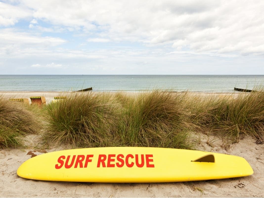
The storm, currently located over the Gulf of Mexico, is expected to move north toward the mid-Atlantic region this weekend, bringing with it a renewed threat of rip currents through the busy Labor Day weekend.
Find out what's happening in Toms Riverfor free with the latest updates from Patch.
UPDATE: Hazardous Weather Outlook In N.J. For Tropical Storm Hermine
Beachgoers are being told that they should enter the water only if lifeguards are present, according to a briefing package put together by the National Weather Service.
Find out what's happening in Toms Riverfor free with the latest updates from Patch.
Most rip current deaths occur on beaches when and where no life guards are on duty. Beach erosion is also possible, according to the briefing.
Read more: Tropical Storm Hermine Intensifies On Way to Florida's Gulf Coast
The storms could also bring these elements to the region:
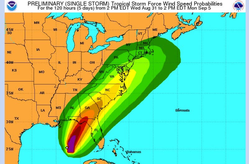
- Strong Winds: There is a chance for tropical storm force winds - 39 to 73 mph - this Labor Day weekend as Tropical Storm Hermine, or its remnants, move north.
- The strongest winds should occur Saturday and Sunday. An inland path would result in lower winds.
- Heavy rain: There is a risk for heavy rain over much of the mid-Atlantic area. However, specific rainfall amounts are highly dependent on the eventual track of the storm. Recent dry weather will lessen the severity of any stream and river flooding that may develop.
- Street flooding and flash flooding are greater threats.
- Storm surge: It is still too early to determine if storm surge will occur with Hermine. A inland path would lessen the threat from surge. However, astronomical tides will be running high from the new moon on Sept. 1, so less onshore flow is needed for coastal flooding to develop.
- Timing: The second round of increased rip current risk (from Hermine) could begin Friday, then persist through Monday (Labor Day).
- Strong winds and heavy rain are most likely Saturday and Sunday, with showers possibly lingering into Monday.
Photos: The Weather Channel, National Weather Service
Get more local news delivered straight to your inbox. Sign up for free Patch newsletters and alerts.