Weather
Snow Totals Change; More Ice, Rain: Hudson Valley Winter Storm
Don't be fooled: It's still a major winter storm, but now with different rates of all types of precipitation.

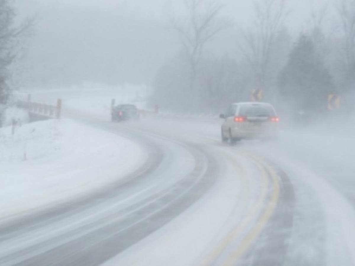
It's still a major winter storm — there's no doubt about that. But the forecast has changed somewhat.
Winter storm warnings are still in effect through Sunday for all but southern Westchester, where a winter weather advisory, coastal flood advisory and flash flood watch are in effect.
The National Weather Service's Saturday evening briefing is calling for less snow and more ice for the interior portions of the lower Hudson Valley, with snow and sleet accumulations of 4 to 8 inches possible. Snowfall rates from a half inch to 1 inch an hour are possible early Saturday night.
Find out what's happening in Bedford-Katonahfor free with the latest updates from Patch.
There will also be less snow and ice for coastal areas, with the addition of heavy rain.
The latest NWS forecast for northern Westchester is calling for:
Find out what's happening in Bedford-Katonahfor free with the latest updates from Patch.
Snow, freezing rain, and sleet before 3am, then freezing rain between 3am and 4am, then rain after 4am. The rain could be heavy at times. Low around 27. Wind chill values between 20 and 25. East wind 7 to 13 mph. Chance of precipitation is 100%. Total nighttime ice accumulation of 0.1 to 0.3 of an inch possible. Total nighttime snow and sleet accumulation of 3 to 7 inches possible.
For southern Westchester the forecast is calling for:
Rain, snow, and freezing rain before midnight, then rain and sleet between midnight and 1am, then rain after 1am. The rain could be heavy at times. Temperature falling to near 32 by 8pm, then rising to around 38 during the remainder of the night. Wind chill values between 20 and 25. East wind 9 to 15 mph. Chance of precipitation is 100%. Total nighttime ice accumulation of less than a 0.1 of an inch possible. Total nighttime snow and sleet accumulation of 1 to 3 inches possible.
For the mid-Hudson Valley, there will be a slight northward shift of sleet and freezing rain, resulting in slightly lower snowfall totals.
There is anticipated to be snowfall of 5 to 10 inches plus up to 3/10 of an inch of ice accumulation. Snowfall rates of 1 to 2 inches per hour are possible. Ice could result in scattered power outages.
The latest NWS forecast for Poughkeepsie is calling for:
Snow before 2am, then sleet between 2am and 4am, then freezing rain after 4am. The snow could be heavy at times. Low around 29. Northeast wind around 9 mph. Chance of precipitation is 100%. Total nighttime ice accumulation of 0.1 to 0.3 of an inch possible. Total nighttime snow and sleet accumulation of 3 to 7 inches possible.
For Sunday, there will be rain and/or a wintry mix depending on your location in the Hudson Valley.
The major concern will be the plummeting temperatures over the course of Sunday, combined with wind chill values. Most areas will be dipping down into the single digits, with negative wind chill.
We will be updating the forecast as necessary, so check back with Patch.
Stay up-to-date with the weather by having Patch’s news alerts delivered right in your inbox. Find and “Like” Hudson Valley Patches' Facebook Pages.
Image via Shutterstock.
Get more local news delivered straight to your inbox. Sign up for free Patch newsletters and alerts.