Home & Garden
WEATHER UPDATE: Hazardous Weather Outlook Issued for Stormy Weekend Forecast
We'll give you the latest details on the upcoming weekend weather forecast and when the rain will begin.

Written by BRIAN MCCREADY (Patch Staff)
Our streak of brilliant weekend weather was bound to end at some point in Westchester County, and it appears Mother Nature has chosen this upcoming weekend to change course.
After seemingly months of bright sunshine on weekends, this weekend looks like one where the sun will remain largely hidden, possibly until Tuesday, according to the National Weather Service.
Find out what's happening in Bedford-Katonahfor free with the latest updates from Patch.
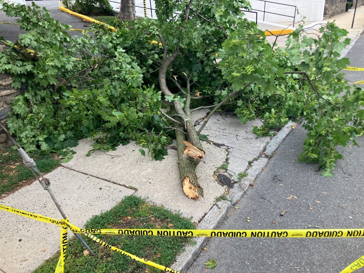
The good news is Thursday’s forecast includes plenty of sunshine and temps in the mid 80s, but beginning late Thursday, showers and thunderstorms are forecast, and a Hazardous Weather Outlook has been issued for the region.
“Locally heavy rainfall is likely ahead of a slow moving cold front from Friday into Friday,” writes the NWS. “Because of the relatively slow motion expected for any convection... widespread urban and poor drainage flooding is likely.”
Find out what's happening in Bedford-Katonahfor free with the latest updates from Patch.
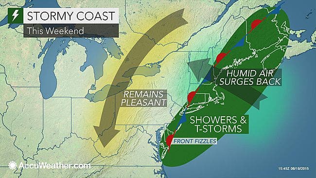
On Friday, showers and thunderstorms are forecast and, as mentioned, some of the rain is expected to be heavy at times. The chance for unsettled weather lasts the entire day and up to an inch of rain is possible in the county, according to the NWS.
A 50 percent chance of showers and thunderstorms is forecast for Saturday under mostly cloudy skies.
On Sunday, there is a 40 percent of showers and storms for Westchester with skies once again mostly cloudy.
And yes, the same forecast is predicted for Monday before the sun is expected to return on Tuesday.
Click here for your hyperlocal forecast from Bedford-Katonah Patch.
Patch Editor Alfred Branch contributed to this report.
Map via AccuWeather.com
Get more local news delivered straight to your inbox. Sign up for free Patch newsletters and alerts.